What is recorded here
Indicated is a vanished standing stone in Galway pastureland, mapped in 1838 and named Gallan in 1946, yet no longer visible. It may have been pulled up during field clearance, erased not by forgetting but by reuse. The land keeps its shape in grass and stone chips, waiting for someone to notice the absence.
In gently rolling pastureland. Indicated on the 1838 edition of the OS 6-inch map and named 'Gallán' in Gothic script on the 1946 edition. No visible surface trace survives; possibly removed during field clearance.
Compiled by: Galway Archaeological Survey, UCG
Date of upload: 17 December 2019
The monument record does not grant public access. Check the route and ask the landowner before entering private land.
- What survives
- Recorded monument
Places near here
 Oakley Parkhouse · 160 yd
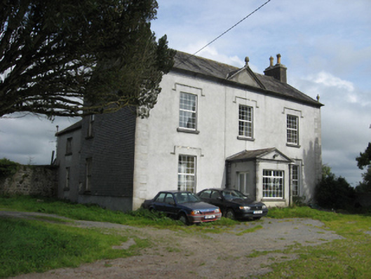 Fairy Hillhouse · 661 yd
 Glebe Ho.Ecclesiastical residence · 1499 yd
 European ashEuropean ash · 1756 yd
 European YewEuropean Yew · 1.2 mi
 Portumna Castlegate lodge · 1.3 mi
 Gate HouseCastle · 1.4 mi
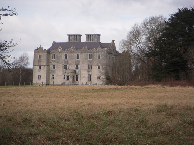 Castle (in ruins)House, fortified house · 1.4 mi
 Hayes IslandIsland · 1.6 mi
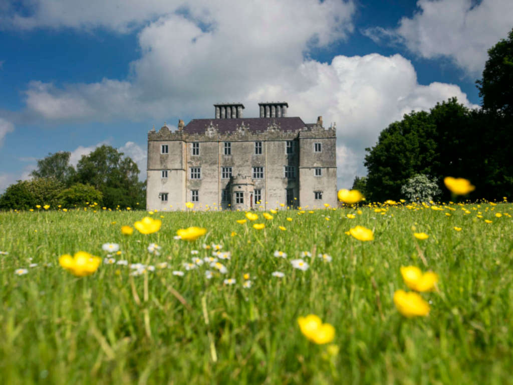 IndicatedFairy fort / earthen ringfort · 1.6 mi
 Roach IslandIslet · 1.8 mi
 Portumna Union Workhouseworkhouse · 996 yd