
What is recorded here
Indicated is a circular earthwork in County Cavan, Ireland, with a substantial bank and shallow ditch surrounding a sloping internal area. Its entrance has vanished, and the NW bank no longer rises above the ground inside. The shape remains clear enough to suggest people once drew a boundary around ordinary soil, perhaps for residence, ritual or exclusion. Whatever it excluded, the earth still holds the line.
Raised circular area (int. dims. 30.5m ENE-WSW; 28.5m NNW-SSE) enclosed by traces of a substantial earthen bank and a wide, shallow fosse. In the NW quadrant the bank does not rise above the internal area. Original entrance not recognisable. Internal area slopes fairly steeply to NW and NNE.
The above description is derived from the published 'Archaeological Inventory of County Cavan' (Dublin: Stationery Office, 1995). In certain instances the entries have been revised and updated in the light of recent research.
Date of upload/revision: 22 December 2008
The monument record does not grant public access. Check the route and ask the landowner before entering private land.
- What survives
- Recorded monument
Places near here
 Bawn in MoynehallBawn · 912 yd
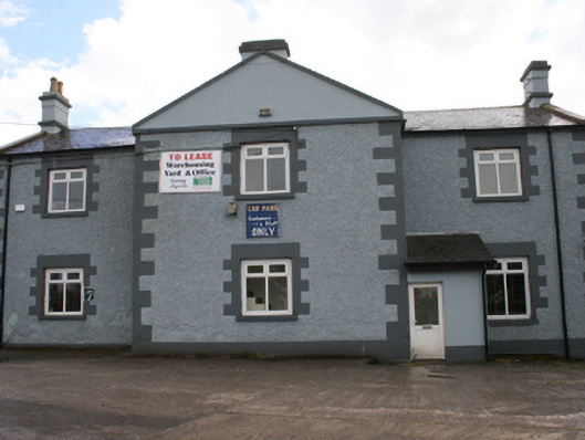 Cavan Schoolschool · 1066 yd
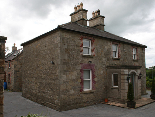 Saint Clare's Cottagehouse · 1094 yd
 The PlowMonument · 1346 yd
 RathcorickArchaeological place · 1480 yd
 CastleCastle, unclassified · 1703 yd
 Owen Roe O'Neill graveMemorial · 1.1 mi
 GrottoWood · 1.2 mi
 Aghalackan WestMountain / peak · 1.6 mi
 Carricknagore RockNamed rock · 1.8 mi
 Corgarran ForestForest · 2.1 mi
 BillisMountain / peak · 2.2 mi
Other information
Photo: Credit not shown in the picture search · Rights wording not checked; contact us if this picture should be removed