What is recorded here
Fairy fort in Gortalassa, County Limerick: a 32-metre earthen ring on an east-facing slope, its bank bruised flat by cattle and its fosse cut through by a field boundary. The interior was leveled against the tilt of the land, perhaps a home, perhaps a marker, perhaps a child's idea made flesh before people stopped believing in children's ideas. What remains is a shallow circle in pasture, neither forgotten nor explained, only tolerated by grass and hooves.
In pasture, on gentle E-facing slope. Circular area (32m N-S; 30m E-W) enclosed by earthen bank (int. H 0.15m; ext. H 1.45m), with an external fosse (D 0.15m; Wth 1.4m) ENE->SE. Bank and fosse are very denuded by cattle WSW->WNW. Field boundary crosses fosse at E. Level interior has been raised on E side to compensate for slope of terrain. It is under pasture but with some overgrowth along margins.
Compiled by: Denis Power
Date of upload: 26 August 2011
The monument record does not grant public access. Check the route and ask the landowner before entering private land.
- What survives
- Recorded monument
Places near here
 Moated site in BallinruaneMoated site · 503 yd
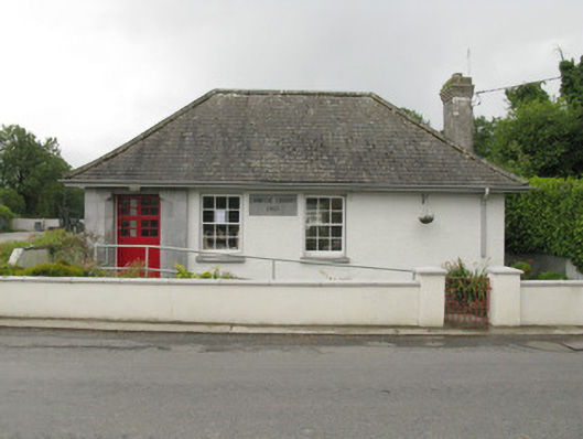 Feenagh Carnegie Librarylibrary/archive · 1565 yd
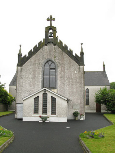 Saint Ita's Catholic Churchchurch/chapel · 1679 yd
 BarrowBarrow, ring-barrow · 1.0 mi
 CastleCastle, unclassified · 1.1 mi
 Garbally WellSpring · 2.0 mi
 ToberhoranSpring · 2.2 mi
 Mayne Ho.Castle, unclassified · 2.7 mi
 National Co-op MuseumMuseum · 4.4 mi
 Ballagh MountainMountain / peak · 8.4 mi
 Mullaghareirk - Banane LoopWalking route · 9.2 mi
 Battle of LiscarrollMajor battlefield · 10 mi