What is recorded here
Situated on a rise in a fairly level landscape. The cropmark of a circular area (diam. c. 7m) defined by a single fosse (Wth c. 1-2m) is visible on Apple maps which utilises a survey conducted by Bluesky International during June 2018. The ring-ditch (ME028-084----) is c. 110m to the SW. This features is also visible on Google Earth (24/06/2018), and it was first reported by Matthew Mullen-Reynolds.
See the attached enhanced view from Apple Maps
Compiled by: Michael Moore
Date of upload: 7 February 2020
The monument record does not grant public access. Check the route and ask the landowner before entering private land.
- What survives
- Recorded monument
Places near here
 Enclosure in GormanstonEnclosure · 574 yd
 Enclosure in SarsfieldstownEnclosure · 687 yd
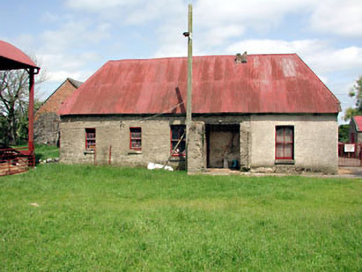 farm housefarm house · 1100 yd
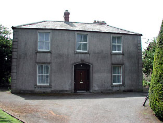 Beechvillehouse · 1131 yd
 SycamoreSycamore · 1280 yd
 Gormanston CastleCastle · 1588 yd
 European YewEuropean Yew · 1627 yd
 Ben HeadCliff · 1.2 mi
 Ballygarth CastleCastle · 2.1 mi
 Battle of Julianstownbattle · 2.2 mi
 Clonard SpringSpring · 3.0 mi
 Balbriggan Tourist OfficeVisitor information · 3.7 mi