
What is recorded here
Situated on a level landscape. The cropmark of a small circular area (diam. c. 25m) defined by a single fosse is visible only on Apple Maps which utilises a survey conducted by Bluesky International during June 2018. It was first reported by Matthew Mullen-Reynolds.
See the attached enhanced view from Apple Maps
Compiled by: Michael Moore
Date of upload: 7 February 2020
The monument record does not grant public access. Check the route and ask the landowner before entering private land.
- What survives
- Recorded monument
Places near here
 Enclosure in SarsfieldstownEnclosure · 773 yd
 Man-made underground passage in Gormanstown DemesneMan-made underground passage · 1233 yd
 SycamoreSycamore · 1268 yd
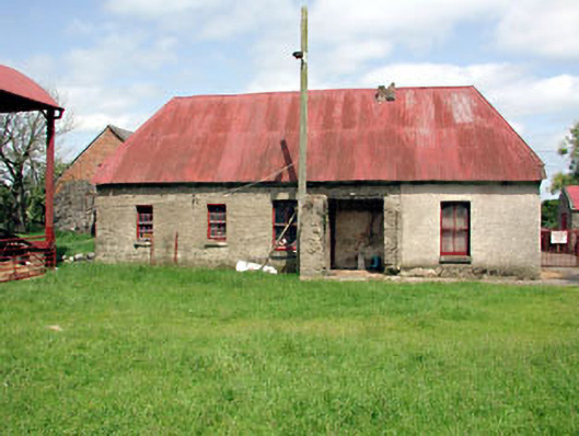 farm housefarm house · 1324 yd
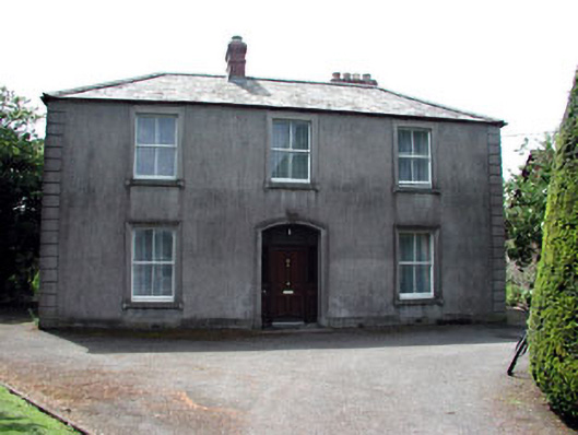 Beechvillehouse · 1347 yd
 Gormanston CastleCastle · 1547 yd
 European YewEuropean Yew · 1601 yd
 Ben HeadCliff · 1.5 mi
 MoatCastle, motte · 1.9 mi
 Battle of Julianstownbattle · 2.2 mi
 Clonard SpringSpring · 3.0 mi
 Balbriggan Tourist OfficeVisitor information · 3.7 mi
Other information
Photo: Credit not shown in the picture search · Rights wording not checked; contact us if this picture should be removed