What is recorded here
Fairy fort / earthen ringfort in Gneevebeg is a fairy fort or earthen ringfort in Gneevebeg, County Westmeath, Ireland. A 1977 inspection described the site as a roughly D-shaped area, measuring approximately 32 metres north-south and 33 metres east-west, defined by a low bank of earth and stone on a small rise. A modern field fence running east-west forms the straight side on the north, while the bank, which is overgrown with thorn bushes and briars, has been partially damaged by land improvement works and used as a dump for large boulders from field clearance debris. The monument has no indication of an enclosing fosse, with a large gap at the northwest and another at the east-southeast that may incorporate an original entrance but has almost certainly been widened and levelled in recent times.
The monument was inspected in 1977 and described as follows: 'On a small rise or hillock in undulating land. Possible ringfort (WM032-067----) 100m to NNW. A roughly D-shaped area (diam. c.32m N-S; 33m E-W) defined by a low bank of earth and stone. A modern field fence running E-W forms the straight side of the monument on the N side. The monument has been partially damaged by land improvement works and there is no indication of an enclosing fosse. The bank has been used as a dump for large boulders the result of field clearance debris, particularly on the E and S sides. The bank is poorly preserved. There is a large gap between the end of the bank and the field fence at NW, probably due to land improvement works. There is another large gap at ESE which may incorporate an original entrance but in its present state has almost certainly been widened and the area inside it levelled in recent times. The interior is uneven and the ground rises to the centre from the N, E and most noticeably from the SE and S. The interior shows evidence of fairly recent disturbance and it seems as if bushes have been removed from the interior. The ground over most of the interior is bare and a number of small stones lie on the surface to the SE and S of centre. The bank is overgrown with thorn bushes and briars' (SMR file).
Compiled by: Caimin O'Brien
Date of upload: 06 March 2013
The monument record does not grant public access. Check the route and ask the landowner before entering private land.
- What survives
- Recorded monument
Places near here
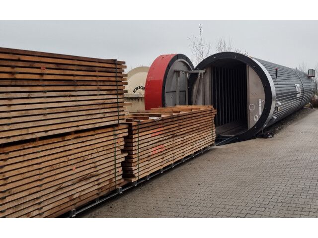 KilnKiln, corn-drying · 175 yd
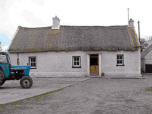 farm housefarm house · 384 yd
 CastleCastle, motte · 1285 yd
 Killalea FortCastle, motte · 1435 yd
 Rathnagalliagh FortFairy fort / earthen ringfort · 1724 yd
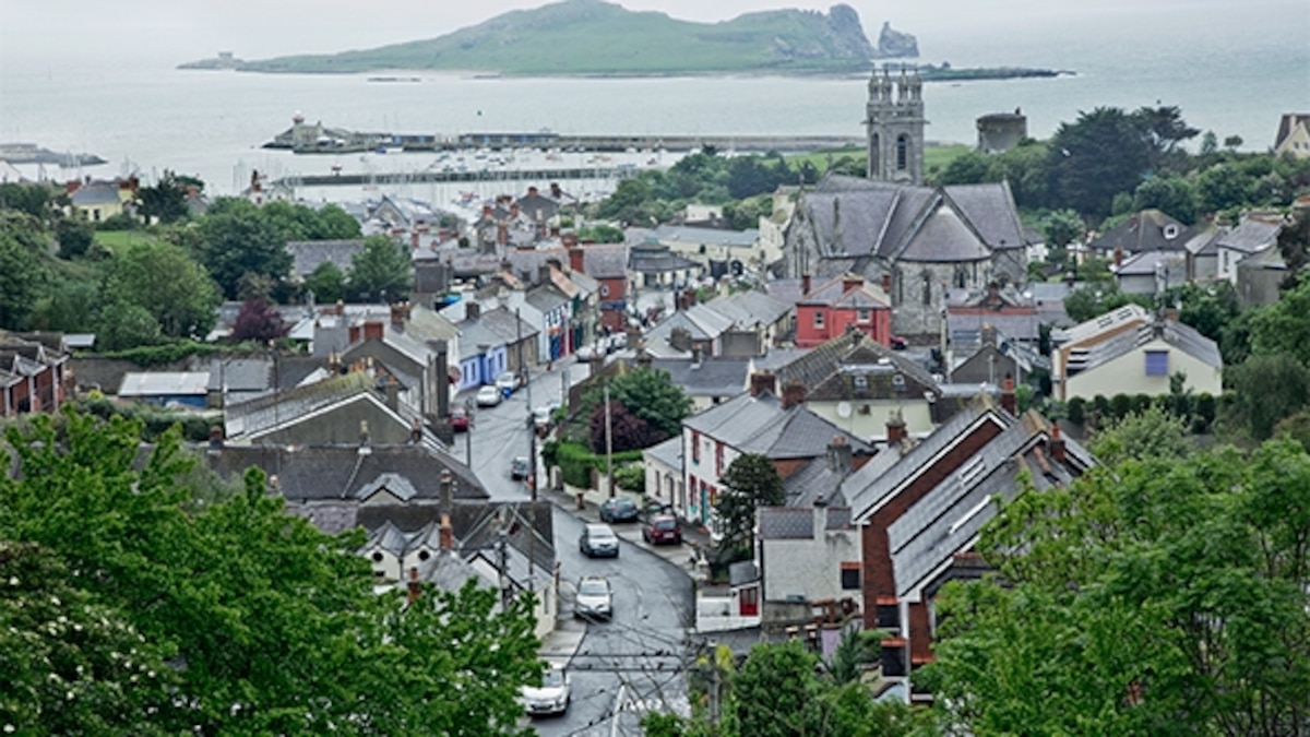 Partially hachuredFairy fort / earthen ringfort · 1753 yd
 Sam's ParkForest · 4.4 mi
 Kilmalady HillMountain / peak · 4.6 mi
 Bonfire HillMountain / peak · 5.0 mi
 Ardan WoodWood · 5.2 mi
 Clara Bog BoardwalkHeritage attraction · 8.3 mi
 Charles BianconiMemorial · 8.9 mi