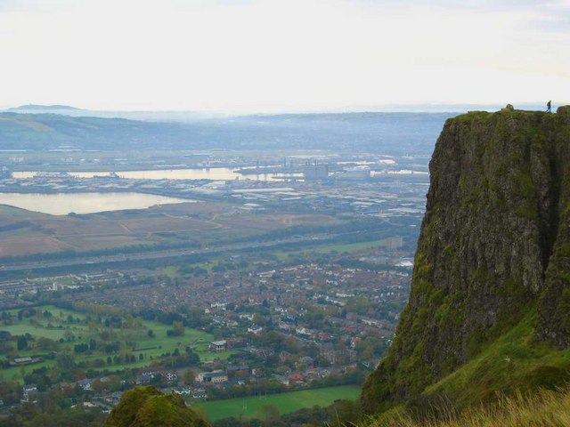
What is recorded here
Cave Fort is a grassy D-shaped ringfort at the SW end of a ridge in County Meath, marked on maps since 1836. Its steep earthen scarps rise two to three metres around a hidden interior where a collapsed underground passage still lies buried. A stone-faced field bank cuts across the middle, truncating the perimeter at the eastern lane, as if the fort were swallowed halfway into farmland. The name promises a cave, but the cave is absent except in the passage’s ghost and the shape of the land.
Situated at the SW end of a NE-SW ridge with spurs from this point off to the W and SE, it is described as ‘Cave Fort’ on the 1836 and 1908 OS 6-inch maps. This is a raised, D-shaped and grass-covered area (dims 36m N-S; 33m E-W) defined b y a scarp (at N: Wth 4.5m; H 2.6m; at S: Wth 5.3m; H 2m). There is no visible fosse or identifiable original entrance, but it is bisected by an E-W field bank that is faced with stone at N (H 1m) but flush with the interior at S, and the perimeter is truncated by the bank a N-S farm lane at E. The collapsed Man-made underground passage (ME009-010002-) is in the S interior.
The above description is derived from the published 'Archaeological Inventory of County Meath' (Dublin: Stationery Office, 1987). In certain instances the entries have been revised and updated in the light of recent research.
Compiled by: Michael Moore
Date of revision: 31 October 2018
The monument record does not grant public access. Check the route and ask the landowner before entering private land.
- What survives
- Recorded monument
Places near here
 Church (in Ruins)Church · 1102 yd
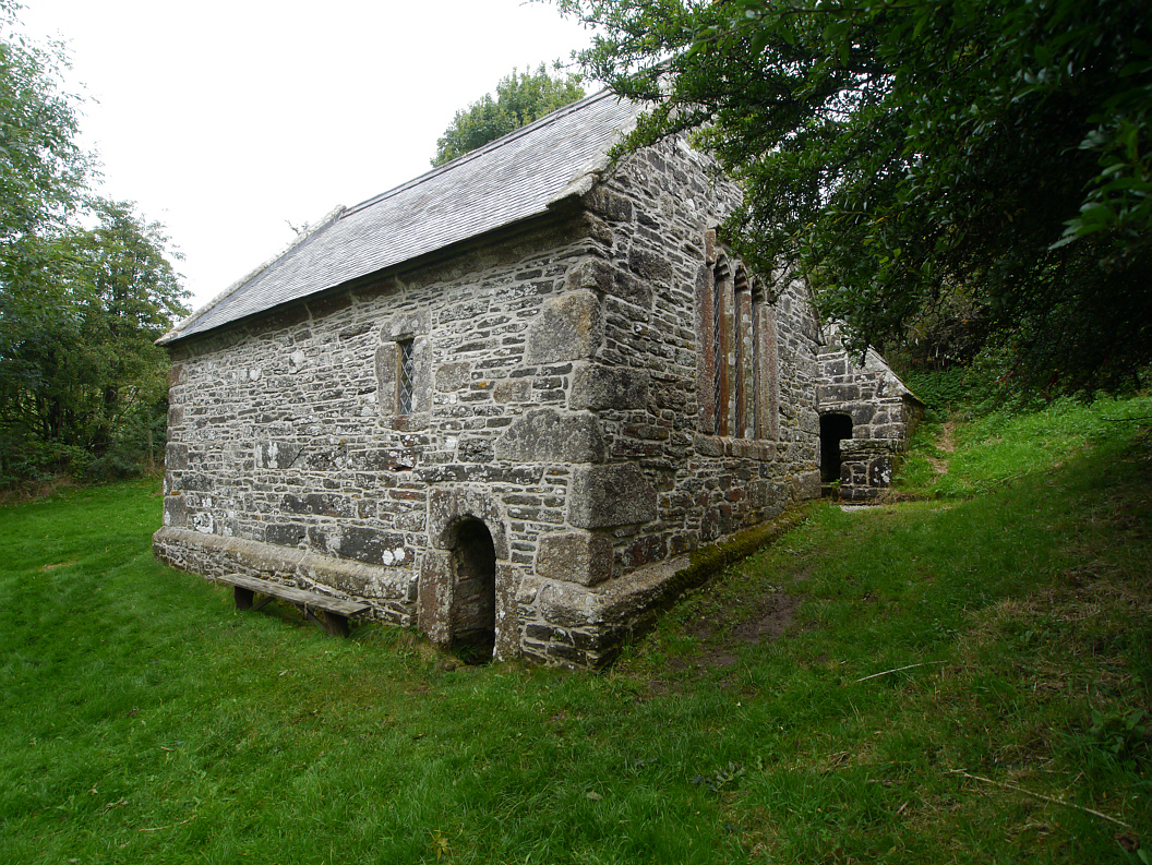 Holy WellHoly well · 1270 yd
 CastleCastle, unclassified · 1700 yd
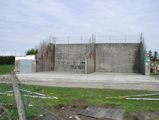 Saint Oliver Post Primary Schoolhandball alley · 1.1 mi
 Fennor LowerMountain / peak · 1.1 mi
 Enclosure in OldcastleEnclosure · 1.2 mi
 Mount FortuneMountain / peak · 1.3 mi
 Memorial CrossMemorial · 1.4 mi
 European BeechEuropean Beech · 1.8 mi
 The MoatCastle, motte and bailey · 2.1 mi
 C11Named rock · 3.3 mi
 LoughcrewMegalithic tomb cemetery · 3.6 mi
Other information
Photo: Credit not shown in the picture search · Rights wording not checked; contact us if this picture should be removed