What is recorded here
In ploughed field atop low glacial hillock on N-facing slope in undulating countryside with good views in all directions. Circular enclosure visible on aerial photograph (GSI 8.4.1974, S. 584/3) and indicated on 2nd (1953-54) ed. OS 6-inch map (map dims. c. 32m N-S; c. 28m E-W) where it appears as a raised earthwork. A sketch plan and profile drawn in the 1950s show an oval area enclosed by a bank (overall dims. 26m N-S; 18m E-W) (OS Field Memorandums). No visible trace above ground.
Compiled by: Jean Farrelly
Date of upload: 26 August 2011
This remains an important historical record, but the official description says the monument is no longer visible or has been destroyed. The monument record does not grant public access. Check the route and ask the landowner before entering private land.
- What survives
- No visible remains or recorded as destroyed
Places near here
 Enclosure in ToberadoraEnclosure · 474 yd
 IndicatedFairy fort / earthen ringfort · 1063 yd
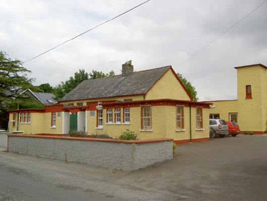 Gaile National Schoolschool · 1707 yd
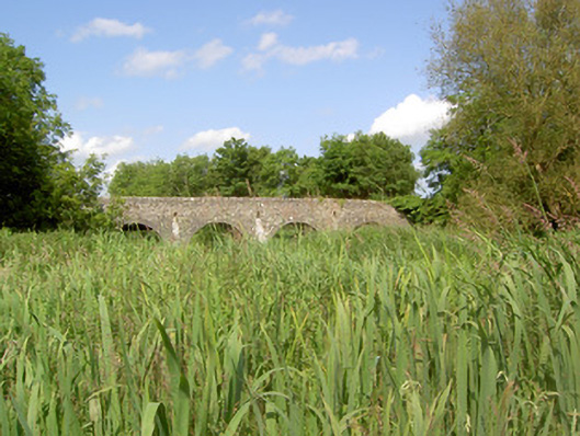 Twoford Bridgesbridge · 1739 yd
 Nodstown CastleCastle, tower house · 1.0 mi
 Milltown CastleCastle · 1.2 mi
 Killough Hill (site of)Mountain / peak · 2.3 mi
 Clonoulty HillMountain / peak · 3.2 mi
 Cormackstown Heritage CentreMuseum · 4.3 mi
 Drum WoodWood · 4.5 mi
 Gift Horse GalleryGallery · 4.9 mi
 Wildlife CorridorWood · 5.4 mi