What is recorded here
Aerial photograph (GB90.CN.25) shows cropmark of a circular enclosure (diam. c. 30m) defined by a fosse and with an entrance facing NW.
Compiled by: Dr. Gillian Barrett for the Archaeological Survey of Ireland
Date of upload: 23 May 2012
The monument record does not grant public access. Check the route and ask the landowner before entering private land.
- What survives
- Recorded monument
Places near here
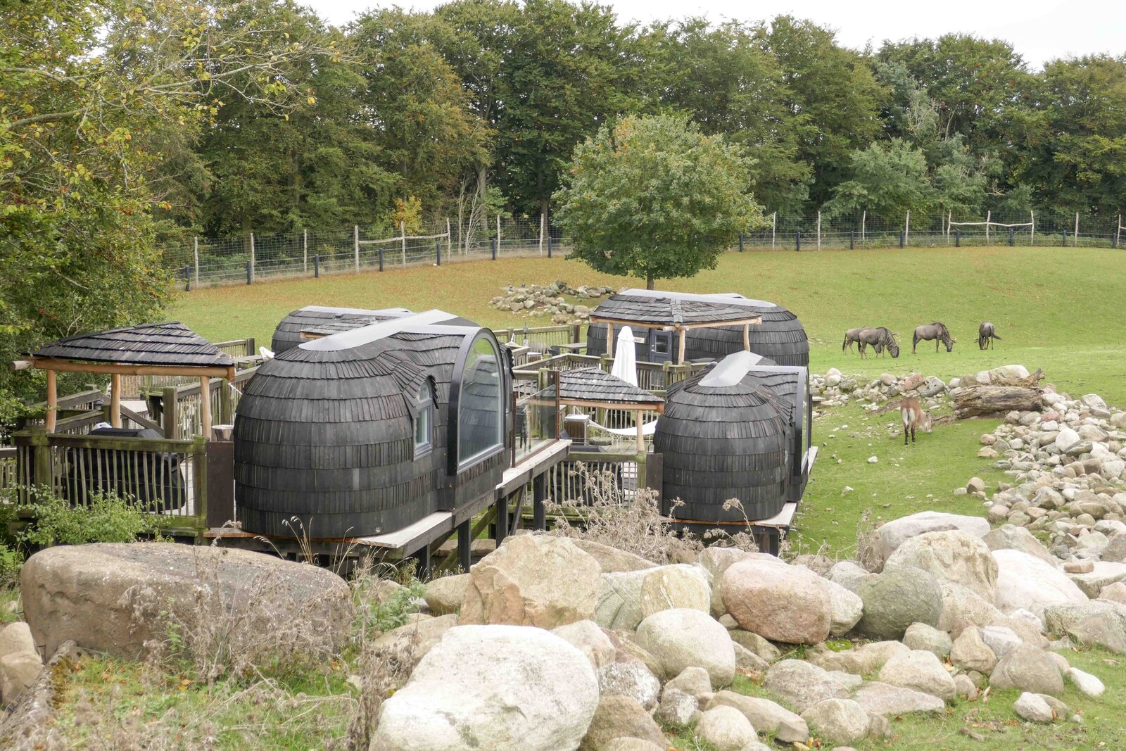 Enclosure in GlashareEnclosure · 113 yd
 Glashare CastleCastle, tower house · 472 yd
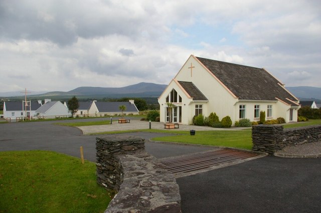 Church in GlashareChurch · 532 yd
 Glashare Ringfort (rath)Archaeological place · 587 yd
 Street fieldArchaeological place · 633 yd
 farm housefarm house · 1418 yd
 CastleCastle, unclassified · 1.2 mi
 DelaneyMemorial · 2.9 mi
 Cnoc SeanrathaMemorial · 2.9 mi
 Clomantagh HillMountain / peak · 3.3 mi
 Big WoodWood · 4.8 mi
 Anker's IslandIsland · 7.2 mi