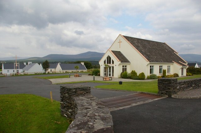
What is recorded here
In low-lying rolling pasture, just above flood plain of river and 100m SE of Glashare Castle (KK008-026----). There is no visible trace above ground of a church in the roughly square graveyard (KK008-027002-). The OS Letters (1839) note the name of the burial ground as 'Teampall Ghlaise Air, i.e., Gleshare Church' (O'Flanagan 1930, vol. 1, 153 (50)). According to Carrigan (1905, vol. 2, 287), 'Some fragments of the church were uprooted in 1832'.
Compiled by: Jean Farrelly
Date of upload: 28 September 2017
A local church or high cross; wider significance not recorded.
This remains an important historical record, but the official description says the monument is no longer visible or has been destroyed. The monument record does not grant public access. Check the route and ask the landowner before entering private land.
- What survives
- No visible remains or recorded as destroyed
Places near here
 Glashare CastleCastle, tower house · 79 yd
 Street fieldArchaeological place · 158 yd
 Glashare Ringfort (rath)Archaeological place · 179 yd
 Enclosure in GlashareEnclosure · 453 yd
 farm housefarm house · 1691 yd
 Mill (in ruins)Water mill, unclassified · 1.1 mi
 CastleCastle, unclassified · 1.3 mi
 DelaneyMemorial · 3.1 mi
 Cnoc SeanrathaMemorial · 3.2 mi
 Clomantagh HillMountain / peak · 3.3 mi
 Big WoodWood · 4.6 mi
 Anker's IslandIsland · 6.9 mi
Other information
Photo: Credit not shown in the picture search · Rights wording not checked; contact us if this picture should be removed