What is recorded here
Glashare held a large circular bivallate ringfort with an internal diameter of roughly 36 metres until 1985. Farmers levelled the ancient defences, erasing the visible walls and leaving only a noticeable hollow in the pasture. The forgers transformed a defended home into ordinary ground, proving that human hands can delete history as quickly as they build it.
On a break in slope between a steep hillside and gentle valley, in pasture. There are good views to the N, S and W. The E side is overlooked by higher land. Indicated on the 1900 ed. OS 6-inch map as large circular bivallate ringfort (int. diam. c. 36m; overall c. 50m) . The monument was levelled in 1985 and is not visible at ground level except for a noticeable hollow.
Compiled by: Jean Farrelly
Date of upload: 2 October 2017
The monument record does not grant public access. Check the route and ask the landowner before entering private land.
- What survives
- Recorded monument
Places near here
 Street fieldArchaeological place · 887 yd
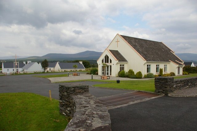 Church in GlashareChurch · 1021 yd
 Glashare Ringfort (rath)Archaeological place · 1088 yd
 Glashare CastleCastle, tower house · 1098 yd
 Enclosure in GlashareEnclosure · 1207 yd
 Mill (in ruins)Water mill, unclassified · 1347 yd
 CastleCastle, unclassified · 1.3 mi
 Clomantagh HillMountain / peak · 3.2 mi
 DelaneyMemorial · 3.3 mi
 John HelyMemorial · 3.4 mi
 The CopseWood · 5.8 mi
 Anker's IslandIsland · 6.4 mi