What is recorded here
On a gentle N-facing slope in undulating terrain at the foot of hills to E and S, overlooking plain from W to N, in grass. Identified as a cropmark on an aerial photograph (CUCAP BDL 31, 1970). The E half of a circular enclosure (diam. c. 44m) defined by two fosses is visible as a cropmark from NE-S-SSW. The old main road (R6339) from Durrow to Urlingford running NE-SW bisects the monument. On the 1st (1839) ed. 6-inch OS map a house with outbuilding is depicted on the NW side of the road which is not marked on the 1900 revision. The enclosure is not visible at ground level.
Compiled by: Jean Farrelly
Date of upload: 28 August 2018
The monument record does not grant public access. Check the route and ask the landowner before entering private land.
- What survives
- Recorded monument
Places near here
 Glashare CastleCastle, tower house · 405 yd
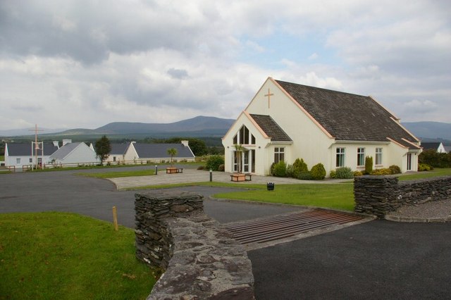 Church in GlashareChurch · 453 yd
 Street fieldArchaeological place · 537 yd
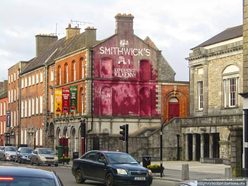 Glashare Ringfort (rath)Archaeological place · 538 yd
 farm housefarm house · 1385 yd
 TombTomb, effigial · 1.1 mi
 CastleCastle, unclassified · 1.2 mi
 DelaneyMemorial · 2.9 mi
 Cnoc SeanrathaMemorial · 3.0 mi
 Clomantagh HillMountain / peak · 3.3 mi
 Big WoodWood · 4.8 mi
 Anker's IslandIsland · 7.2 mi
Other information
Photo: Credit not shown in the picture search · Rights wording not checked; contact us if this picture should be removed