What is recorded here
No amount of magic will return what the sea and time have taken. The water closed over the room, the chamber, the chamber floor and every living thing inside it. The fort disappeared because the ocean wanted the room back. What you love must be strong enough to resist forgetting. This is not a warning about you. It is a measurement of the world.
There was reputedly a fort at this point on the W bank of the Glannagalt river. It is locally known as Lisroe/Lios Rua though, on the OS maps, this name is applied to a ringfort on the opposite side of the river in Scrallaghbeg townland (KE036-065----). When visited in 1946 (CKFC, 669) it was described as 'a single mound in the heart of a swamp' and there are now no visible remains.
The above description is derived from J. Cuppage, ‘Corca Dhuibhne. Dingle Peninsula archaeological survey. Ballyferriter. Oidhreacht Chorca Dhuibhne’ (1986), no. 689. In certain instances the entries have been revised and updated in the light of recent research.
Date of upload: 7 August 2013
The monument record does not grant public access. Check the route and ask the landowner before entering private land.
- What survives
- Recorded monument
Places near here
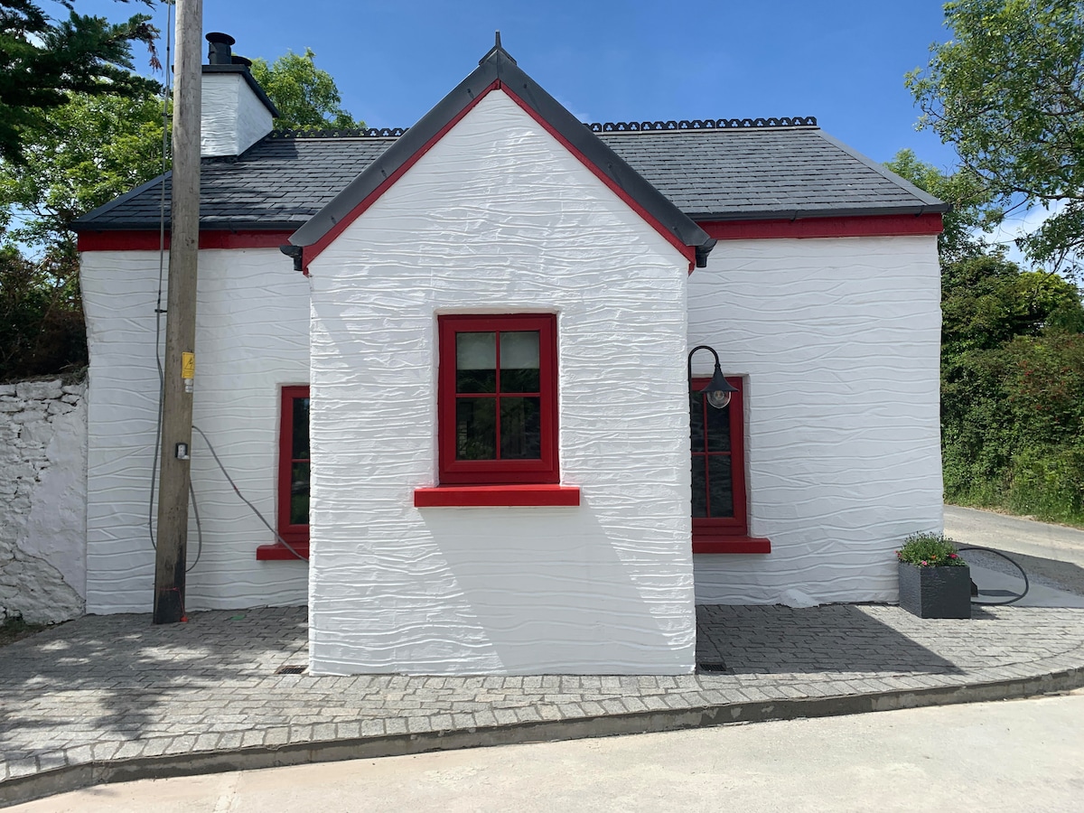 Hut site in FoilatrisnigHut site · 527 yd
 TobernagaltHoly well · 537 yd
 CorrinMountain / peak · 1368 yd
 KnockbegMountain / peak · 1.3 mi
 Church in Duagh (corkaguiny By.)Church · 1.5 mi
 Faisr's GraveArchaeological place · 1.6 mi
 Saint Mary's Catholic Churchchurch/chapel · 1.7 mi
 Site of Camp CastleCastle, unclassified · 1.8 mi
 Graveyard in Baile An Chnocáin (tc An Cnoc Glas)Graveyard · 1.9 mi
 CastleCastle, unclassified · 2.0 mi
 Glanteenassig Forest ParkForest · 4.2 mi
 Inch BeachVisitor information · 4.8 mi