What is recorded here
Fairy fort / ringfort in Gillardstown is a fairy fort or ringfort in Gillardstown, County Westmeath, Ireland. Situated on the shoulder of a hill in pasture-land, the site offered good views from east through west to south, with a nearby ringfort located two hundred twenty metres to the northwest and a small lake two hundred twenty metres to the southwest. Annotated as a fort and depicted as a circular-shaped earthwork on the 1837 Ordnance Survey Fair Plan and sixth-inch map, the site has since been levelled so that no surface remains are visible today. The levelled monument is visible as a faint circular crop mark with an approximate north-south diameter of forty-two metres on a Digital Globe aerial photograph taken in November 2011.
Situated on the shoulder of a hill in pasture-land, with good views from E-W-S. Ringfort (WM007-060----) 220m to NW. Small lake 220m to SW. Annotated as 'Fort' on the 1837 OS Fair Plan where it is depicted as a circular-shaped earthwork. Depicted as a circular shaped earthwork on the 1837 ed. OS 6-inch map. The site has been levelled and today there are no surface remains visible. The levelled monument is isible as a faint circular crop mark (approx. diam 42m N-S) on Digital Globe aerial photograph taken November 2011.
Compiled by: Frank Coyne and Caimin O'Brien
Date of upload: 14 April 2017
The monument record does not grant public access. Check the route and ask the landowner before entering private land.
- What survives
- Recorded monument
Places near here
 Hut site in GillardstownHut site · 283 yd
 Hachured, FortfieldFairy fort / earthen ringfort · 979 yd
 Water millWater mill, vertical-wheeled · 1505 yd
 Castle IslandIslet · 1.0 mi
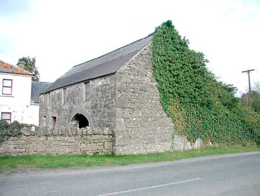 outbuildingoutbuilding · 1.2 mi
 South East GateHeritage attraction · 2.3 mi
 Christians Castle in ruinsCastle, unclassified · 2.4 mi
 St Feichin's MillHeritage attraction · 2.5 mi
 MoatCastle, motte and bailey · 2.6 mi
 KnockeyonMountain / peak · 2.6 mi
 Ben of ForeMountain / peak · 2.8 mi
 The FurzeForest · 4.0 mi