What is recorded here
Gilbertstown Church stood at the heart of a circular graveyard in County Carlow, its presence recorded on maps from 1839 to 1908 before the building vanished entirely. Trees still mark the perimeter of that lost oval, guarding graves and memories now reduced to a dashed line on old paper. The church is gone, but the yard remains, holding whatever the town chose to bury beneath soil and silence.
Depicted with a dashed line as a roughly oval-shaped area, with trees growing around the perimeter, on the 1839 OS 6-inch map and a church (CW013-023001-) roughly centrally placed. On the 1908 OS 6-inch map the graveyard is depicted as a circular area (map diam. 38m) and the central church is indicated by a cross as 'Gilbertstown Church (Site of)'.
Compiled by: Jean Farrelly
Date of upload: 19 August 2011
The monument record does not grant public access. Check the route and ask the landowner before entering private land.
- What survives
- Recorded monument
Places near here
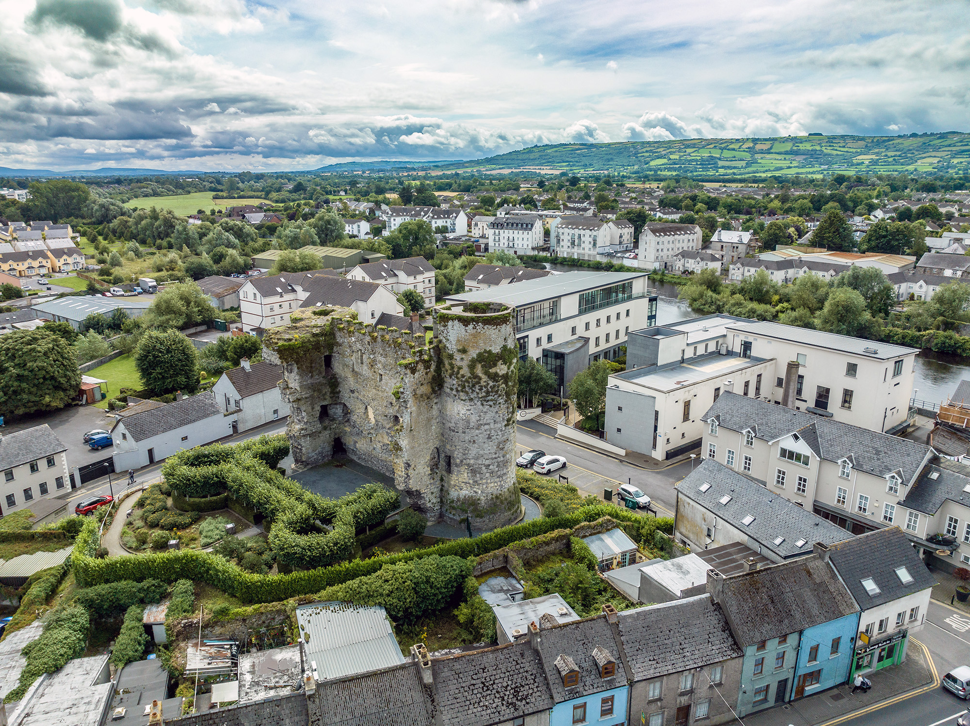 Font in GilbertstownFont · 1 yd
 Enclosure in GilbertstownEnclosure · 116 yd
 Ballynunnery Castle in ruinsCastle, unclassified · 737 yd
 Kilmurry Church (in ruins), GraveyardChurch · 906 yd
 Site of CastleCastle, unclassified · 1617 yd
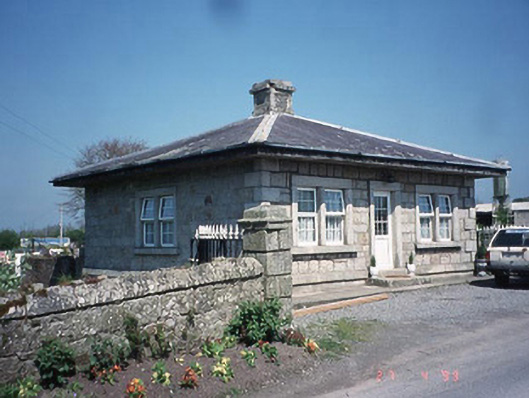 Kilknock Housegate lodge · 1.1 mi
 Church (in ruins), GraveyardChurch · 1.3 mi
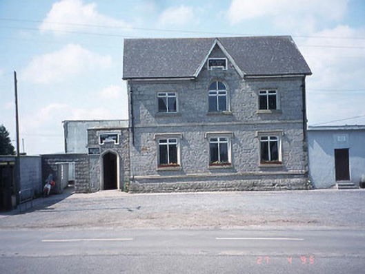 school master's houseschool master's house · 1.5 mi
 Pedunculate OakPedunculate Oak · 2.9 mi
 Scots PineScots Pine · 4.8 mi
 Altamont Gardens MapVisitor information · 4.8 mi
 Altamont House and GardensHeritage attraction · 4.9 mi