What is recorded here
Fairy fort in Gilbertstown, County Meath: an earthen ringfort on a southwest slope, with a complete outer ditch and an east-southeast entrance causeway. People may have lived inside the bank or kept animals there before the field changed around it. The name suggests later belief in hidden inhabitants, yet the measured earth and ditch point to a human-made defensive or domestic place.
Situated on a shelf on a SW-facing slope. This is a raised grass and scrub-covered oval area (dims 47m WNW-ESE; 37m NNE-SSW) defined by an overgrown earthen bank (Wth of base 8-9m; int. H 1-1.2m; ext. H 2.5m), with a field bank at the bottom of its outer face WSW-WNW. There is a complete outer fosse (at SSW: Wth of top 5.5m; ext. D 0.5m). The original entrance (Wth of base 1.6m) and causeway (Wth of top 3m; H 0.3m) are at ESE.
The above description is derived from the published 'Archaeological Inventory of County Meath' (Dublin: Stationery Office, 1987). In certain instances the entries have been revised and updated in the light of recent research.
Compiled by: Michael Moore
Date of revision: 9 August 2019
The monument record does not grant public access. Check the route and ask the landowner before entering private land.
- What survives
- Recorded monument
Places near here
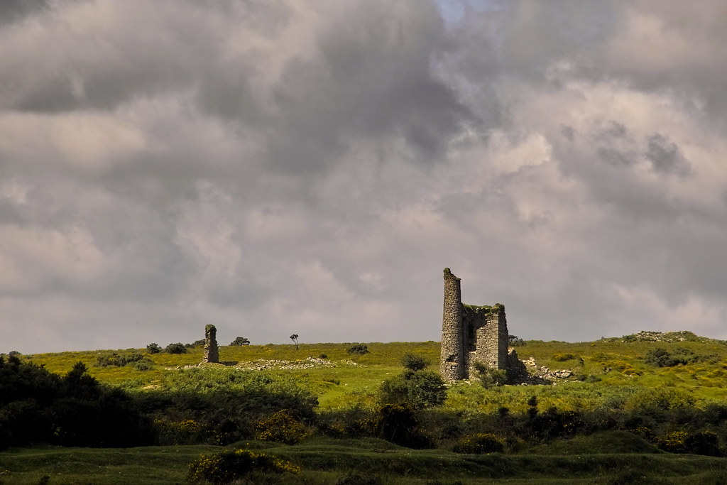 RuinChurch · 781 yd
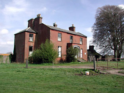 Castlerickard Housecountry house · 1.3 mi
 EnclosureEnclosure, large enclosure · 1.5 mi
 CastleCastle, motte · 1.5 mi
 Concentric enclosure in DalystownConcentric enclosure · 1.6 mi
 Common LimeCommon Lime · 1.9 mi
 European BeechEuropean Beech · 2.0 mi
 Donore CastleCastle · 2.5 mi
 Croppies' GraveMemorial · 5.6 mi
 Cloncurry GraveyardHeritage attraction · 5.8 mi
 The Grill ShackHeritage attraction · 9.5 mi
 Mass was there in Penal TimesMemorial · 11 mi