What is recorded here
Fairy fort / earthen ringfort in Gaybrook Demesne is a fairy fort or earthen ringfort in Gaybrook Demesne, County Westmeath, Ireland. The 1837 OS Fair Plan map depicts the site as a circular-shaped tree-planted earthwork enclosed by a bank and a scarp, with an annotation reading fort. Subsequent descriptions from 1971 and 1978 record the levelled monument as a circular-shaped area measuring 28 metres north-south and 27 metres east-west, defined by a low scarp that was best preserved from north-northwest through north to north-northeast, where an external fosse was also evident. Today the ringfort is visible as a circular-shaped cropmark on Digital Globe aerial photography, situated on a north-facing slope of a slight rise in gently undulating pasture where views are restricted by surrounding land.
Situated on N-facing slope of a slight rise, in gently undulating pasture, with views restricted by surrounding land. Depicted on the 1837 OS Fair Plan map as a circular-shaped tree-planted earthwork enclosed by a bank and a scarp and annotated ‘fort’. Levelled monument described in 1971 and 1978 as a circular-shaped area (dims. 28m N-S and 27m E-W) defined by a low scarp. In 1978 the scarp was best preserved from NNW-N-NNE and an external fosse was evident from NNW-N-NNE. The interior has a N-facing slope and there are no recognisable features within. Levelled ringfort visible today as a circular-shaped cropmark on Digital Globe aerial photography.
Compiled by Alison McQueen, Vera Rahilly and Caimin O’Brien.
Date of upload: 04 November 2019
The monument record does not grant public access. Check the route and ask the landowner before entering private land.
- What survives
- Recorded monument
Places near here
 Bawn in Simonstown (fartullagh By.)Bawn · 707 yd
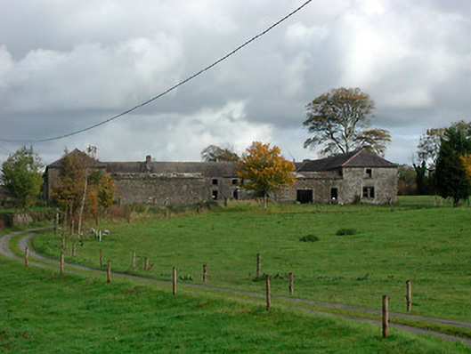 Gaybrook Housefarmyard complex · 1148 yd
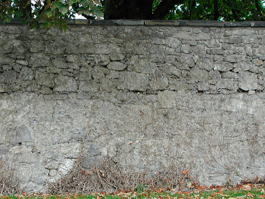 Dunboden Parkgates/railings/walls · 1411 yd
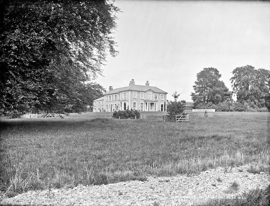 Partially indicatedEnclosure · 1581 yd
 Castle in RuinsCastle, tower house · 1589 yd
 Fulacht fia in Corbally (fartullagh By.)Fulacht fia · 1.0 mi
 Dysart IslandIsland · 4.2 mi
 Ash IslandIslet · 4.3 mi
 Famine MemorialMemorial · 4.7 mi
 Derrygreenagh HillMountain / peak · 5.3 mi
 Knockdrin HillMountain / peak · 6.0 mi
 GinkgoGinkgo · 9.9 mi