What is recorded here
Fairy fort / ringfort in Garrysallagh is a fairy fort or ringfort in Garrysallagh, County Westmeath, Ireland. The 1837 edition of the Ordnance Survey six-inch map depicts the site as a semi-circular shaped enclosure intersected at the northeast by a roadway running north-northwest to south-southeast, though it is not depicted on subsequent editions of those maps. A cropmark of a circular shaped enclosure is barely visible on a Digital Globe aerial photograph taken in November 2011, while the source account records that no surface remains are visible of the levelled monument.
No surface remains visible of levelled monument. Depicted on 1837 ed. OS 6-inch map as a semi-circular shaped enclosure intersected at NE by a roadway running NNW-SSE. No depicted on subsequent editions of the OS 6-inch maps. Cropmark of circular shaped enclosure barely visible on Digital Globe aerial photograph taken November 2011.
Compiled by: Caimin O'Brien
Date of upload: 9 February 2018
The monument record does not grant public access. Check the route and ask the landowner before entering private land.
- What survives
- Recorded monument
Places near here
 St. Patricks WellHoly well · 725 yd
 OutlinedFairy fort / earthen ringfort · 856 yd
 CastleCastle, motte · 962 yd
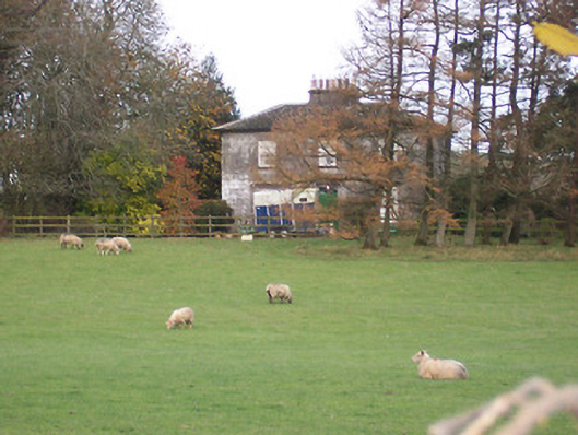 The Gleberectory/glebe/vicarage/curate's house · 1476 yd
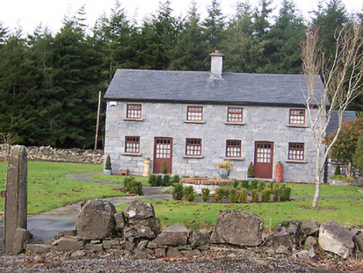 The Holliesworker's house · 1514 yd
 Scragh Bog Nature ReserveNature reserve · 1.3 mi
 Long PlantingForest · 1.9 mi
 Church IslandIsland · 2.3 mi
 KnockeyonMountain / peak · 2.6 mi
 Srudarra IslandIslet · 3.1 mi
 Castle (in Ruins)Castle, tower house · 3.1 mi
 Bridge Memorial (Kenna)Memorial · 3.1 mi