What is recorded here
On top of a N-S ridge of pasture with good views in all directions, nearby ringfort (TS043-024----) 300m to W. Impressive well-preserved ring-barrow (overall diam. 55m E-W) consisting of a circular mound (base diam. 30m E-W; top diam. 22m E-W; H above fosse 0.6m) defined by an inner fosse (top Wth 8m; base Wth 3.5m; ext. D 1m) and outer bank (top Wth 3.5m; base Wth 8.5m; ext. H 0.7m). The top of the mound is approx. level with the surrounding ground surface. The bank is reduced to a scarp at N only, elsewhere it is very well preserved. In the S quadrant the bank is intersected by a field boundary running E-W.
Compiled by: Jean Farrelly
Date of upload: 26 August 2011
Ring-barrow, likely dating to the Early Bronze Age. Its size and preservation indicate significant ritual or elite burial practices in a prominent landscape position.
The monument record does not grant public access. Check the route and ask the landowner before entering private land.
- What survives
- Recorded monument
Places near here
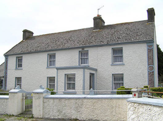 farm housefarm house · 292 yd
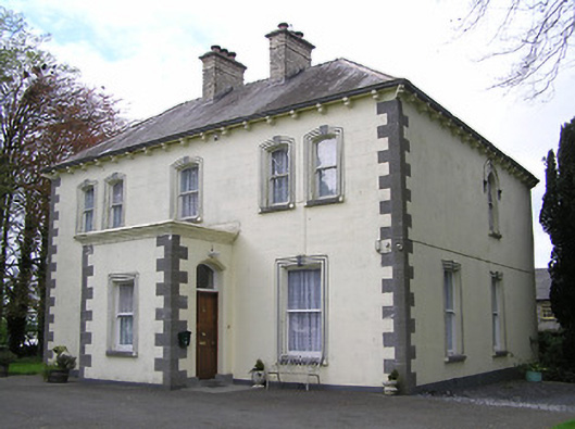 presbytery/parochial/curate's housepresbytery/parochial/curate's house · 578 yd
 RathbegFairy fort / earthen ringfort · 903 yd
 RathkianFairy fort / earthen ringfort · 1.4 mi
 Kilcooly AbbeyHeritage attraction · 1.7 mi
 Buolick MoatCastle, ringwork and bailey · 1.7 mi
 Bawn in GraiguepadeenBawn · 1.8 mi
 KilcooleyForest · 2.0 mi
 Rapefield WoodForest · 2.3 mi
 Bregaun HillMountain / peak · 3.2 mi
 John HelyMemorial · 5.0 mi
 DelaneyMemorial · 5.1 mi