What is recorded here
Fairy fort / earthen ringfort in Garraree is a fairy fort or earthen ringfort in Garraree, County Westmeath, Ireland. Situated on the lower S facing slope of a high ridge, the site was described in 1970 as a circular area approximately 31 metres in diameter, enclosed by two earthen banks and an intervening fosse. The inner bank measured 6.8 metres wide and 0.4 metres high, while the low outer bank was 1.9 metres wide and 0.52 metres high. The site has since been levelled and is visible only as a cropmark on a Digital Globe aerial photograph taken in November 2011.
Situated on the lower S facing slope of a high ridge in hilly grassland with good views to SE and SW. Ringfort (WM012-136---) 90m to SW. This site has been levelled, and is visible only as a cropmark on the Digital Globe aerial photograph taken November 2011. Described in 1970 as a circular shaped area (approx. diam. 31m NW-SE; 31m NE-SW) enclosed by a two earthen banks and an intervening fosse. The inner bank is low and wide (Wth 6.8m; H 0.4m), the wide fosse (Wth 5.4m) is visible from N-E-SE, and the low outer bank (Wth 1.9m; H 0.52m) arcs around the fosse. There is an entrance gap at S. Traces of cultivation ridges are visible running NNW-SSE across the interior, which slopes to the SSW. A field fence originally ran along the line of the perimeter from S-NW.
Compiled by: Frank Coyne and Caimin O'Brien
Date of upload: 6 March 2018
The monument record does not grant public access. Check the route and ask the landowner before entering private land.
- What survives
- Recorded monument
Places near here
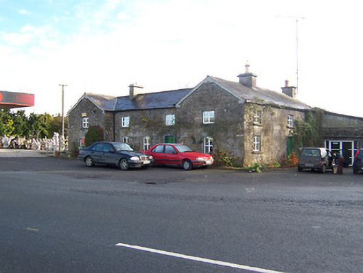 Rose Cottageworker's house · 478 yd
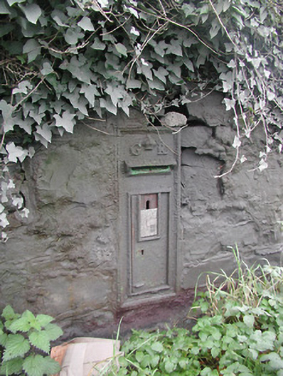 post boxpost box · 500 yd
 Partially hachuredFairy fort / earthen ringfort · 1049 yd
 Hachured, Bells HillFairy fort / earthen ringfort · 1162 yd
 OutlinedCastle, tower house · 1276 yd
 Long PlantingForest · 1.4 mi
 IndicatedCastle, tower house · 1.7 mi
 Scragh Bog Nature ReserveNature reserve · 2.1 mi
 Church IslandIsland · 2.8 mi
 Saint Brigid's WellSpring · 3.0 mi
 Srudarra IslandIslet · 3.6 mi
 United Nations War MemorialMemorial · 3.6 mi