What is recorded here
In pasture. No visible surface trace.
The above description is derived from the published 'Archaeological Inventory of County Cork. Volume 2: East and South Cork' (Dublin: Stationery Office, 1994). In certain instances the entries have been revised and updated in the light of recent research.
Date of upload/revision: 14 January 2009
Likely dating to the Neolithic or Bronze Age, this standing stone may have functioned as a territorial marker, ceremonial monument, or astronomical alignment feature. No specific folklore or detailed local tradition is recorded for Garraneboy.
The monument record does not grant public access. Check the route and ask the landowner before entering private land.
- What survives
- Recorded monument
Places near here
 Grave YdGraveyard · 1100 yd
 Glanmire Heritage SocietyMemorial · 1128 yd
 Rathcooney HouseCountry house · 1227 yd
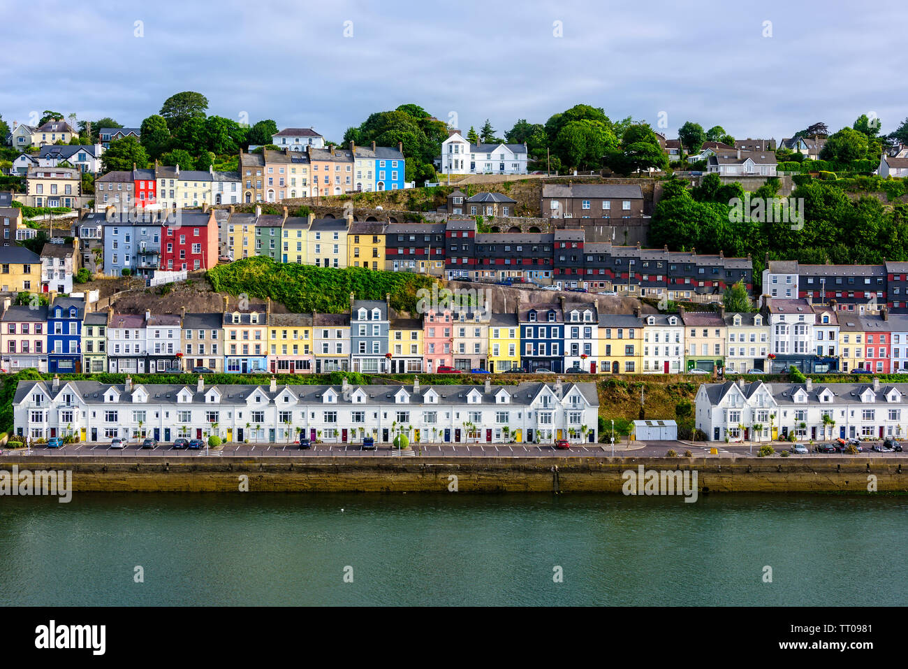 IndicatedEnclosure · 1354 yd
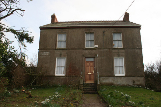 Banduff Househouse · 1631 yd
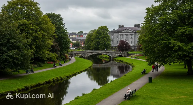 Tinker's Cross ParkMemorial · 1.2 mi
 Cork WalksVisitor information · 1.3 mi
 Murphy's RockViewpoint · 1.3 mi
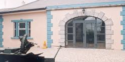 Collins Barracks Military MuseumMuseum · 2.1 mi
 Sarsfields Court (in Ruins)Castle, unclassified · 2.2 mi
 Man-made underground passage in Ballincrokig (cork By., St. Anne’s Shandon Par.)Man-made underground passage · 1446 yd
 Burnt mound in Ballyvolane (cork By.)Burnt mound · 1.0 mi