What is recorded here
Fairy fort / earthen ringfort in Garhy is a fairy fort or earthen ringfort in Garhy, County Westmeath, Ireland. The 1973 survey described it as a roughly oval-shaped area measuring 34 metres north-south and 25 metres east-west, enclosed by an earth and stone bank. No visible trace of an external fosse was recorded, though a possible entrance gap was noted at the north, and the uneven interior showed traces of three possible house sites. The monument is situated on a rise in gently undulating pasture, with the Athlone to Mullingar railway line located approximately 15 metres to the southeast.
Situated on a rise, in gently undulating pasture, with a good view of the surrounding landscape. Athlone to Mullingar railway line is c. 15m to SE. Depicted on the revised 1910 ed. OS 25-inch map as an oval-shaped earthwork. Monument described in 1973 as a roughly oval-shaped area (approx. dims. 34m N-S; 25m E-W) enclosed by an earth and stone bank. There is no visible trace of an external fosse with possible entrance gap at N. The interior is uneven and there are traces of three possible house sites (WM031-038001-). Monument is visible today as an oval-shaped partially tree-lined earthwork on Digital Globe aerial photography.
Compiled by Alison McQueen, Vera Rahilly and Caimin O’Brien.
Date of upload: 113November 2019
This remains an important historical record, but the official description says the monument is no longer visible or has been destroyed. The monument record does not grant public access. Check the route and ask the landowner before entering private land.
- What survives
- No visible remains or recorded as destroyed
Places near here
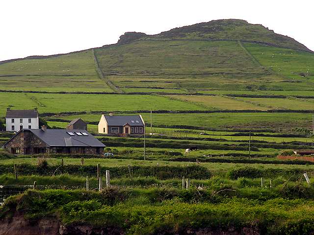 OutlinedEnclosure · 783 yd
 CastleCastle, unclassified · 929 yd
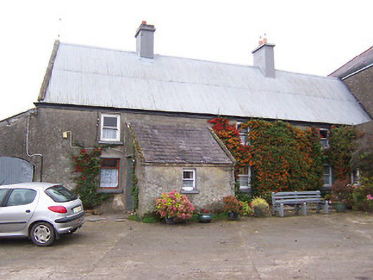 Garhy Lodgehouse · 1304 yd
 Rockfield Househouse · 1447 yd
 Partially outlinedEnclosure · 1645 yd
 Carn CastleCastle · 1.4 mi
 Sam's ParkForest · 2.3 mi
 KnockastiaMountain / peak · 3.5 mi
 Japanese pagoda treeJapanese pagoda tree · 3.9 mi
 Kilmalady HillMountain / peak · 5.2 mi
 Charles BianconiMemorial · 8.0 mi
 The Bob Traynor GalleryGallery · 8.1 mi