What is recorded here
Situated at the W end of a low E-W ridge Aerial photograph (GB91.DC.29 & 30) shows cropmark of a circular enclosure; a cropmark of a ring-ditch (LH017-120----) is located immediately to the west. It is also visible on Google Earth (21/07/2021).
See the attached enhanced view from Google Earth (21/07/2021)
Compiled by: Dr Gillian Barrett for the Archaeological Survey of Ireland.
Date of upload: 23 December 2010
Amended: 16 May 2022
The monument record does not grant public access. Check the route and ask the landowner before entering private land.
- What survives
- Recorded monument
Places near here
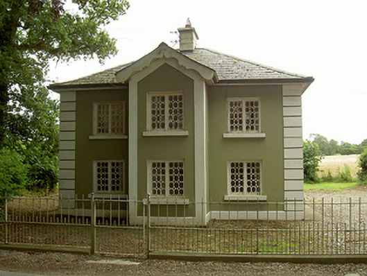 Ashvillegate lodge · 94 yd
 Enclosure in FunshogEnclosure · 719 yd
 Enclosure in MillockstownEnclosure · 1490 yd
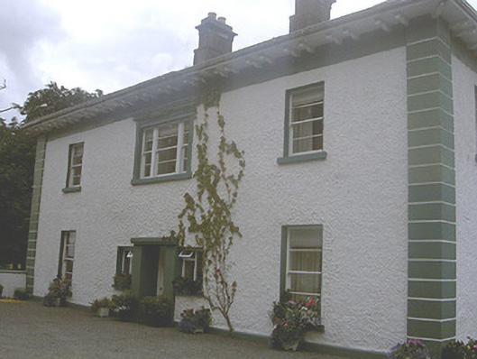 Roestown Househouse · 1.2 mi
 Not idicatatedCastle, unclassified · 1.4 mi
 Mount OrielMountain / peak · 1.9 mi
 Rathescar Lakeside WalkWood · 2.4 mi
 Graveyard in StickillinGraveyard · 2.6 mi
 Black HillMountain / peak · 2.7 mi
 Dawsons MoatCastle, motte and bailey · 2.8 mi
 Monterey CypressMonterey Cypress · 3.1 mi
 Graveyard in Richardstown (ardee By., Richardstown Par.)Graveyard · 3.1 mi