
What is recorded here
The following description is derived from both the published 'Archaeological Inventory of County Louth' (Dublin: Stationery Office, 1986) and the 'Archaeological Survey of County Louth' (Dublin: Stationery Office, 1991). In certain instances the entries have been revised and updated in the light of recent research.
Date of upload/revision: 17 July 2007
Situated on a natural terrace on the SW slope of an E-W ridge. Part of a complex site discovered during land reclamation and partially excavated by C. Manning in 1980 (Manning 1986). Consists of two Man-made underground passages (LH017-054004- and LH017-054005-) within an oval enclosure (LH017-054003-) which contained over 50 lintelled graves (LH017-054006-). This is adjudged by the excavator to be the third phase of activity on the site. The second phase is a ringfort (LH017-054002-). The initial phase was an irregularly-shaped enclosure (LH017-054001-) represented by a pennanular ditch, except at S, where there is a steep slope, enclosing an area c. 65m by c. 56m, possibly dating to the fourth century AD. In completing land reclamation the two Man-made underground passages were left intact but inaccessible and much of the stratigraphy on the northern half of the site was left undisturbed.(PRIA 86C, 135-81)
The monument record does not grant public access. Check the route and ask the landowner before entering private land.
- What survives
- Recorded monument
Places near here
 Fairy fort / earthen ringfort in MillockstownFairy fort / earthen ringfort · 543 yd
 Enclosure in FunshogEnclosure · 813 yd
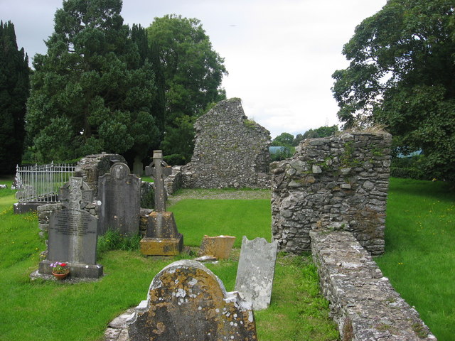 Kildemock Church (in ruins)Church · 1223 yd
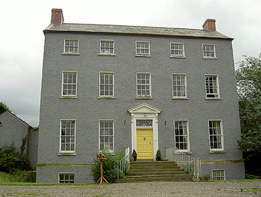 Kildemock Houserectory/glebe/vicarage/curate's house · 1340 yd
 Not idicatatedCastle, unclassified · 1.5 mi
 Graveyard in StickillinGraveyard · 2.1 mi
 Dawsons MoatCastle, motte and bailey · 2.1 mi
 European White ElmEuropean White Elm · 2.3 mi
 Mount OrielMountain / peak · 2.5 mi
 Rathescar Lakeside WalkWood · 3.0 mi
 Graveyard in Richardstown (ardee By., Richardstown Par.)Graveyard · 3.0 mi
 Black HillMountain / peak · 3.5 mi
Other information
Photo: Credit not shown in the picture search · Rights wording not checked; contact us if this picture should be removed