
What is recorded here
Horseshoe-shaped mound (L 11m; Wth 10.6m; H 0.8m) in rough grazing on gradual E-facing slope. Mound gorse covered with opening to NW (Wth 5.8m). SW arm longer than NW: broken by cattle activity. Second fulacht fiadh (CO141-014001) lies c. 40m to SW.
The above description is derived from the published 'Archaeological Inventory of County Cork. Volume 1: West Cork' (Dublin: Stationery Office, 1992). In certain instances the entries have been revised and updated in the light of recent research.
Date of upload/revision: 14 January 2009
The monument record does not grant public access. Check the route and ask the landowner before entering private land.
- What survives
- Recorded monument
Places near here
 BarrowBarrow, mound barrow · 1117 yd
 Skeagh CairnArchaeological place · 1119 yd
 Bridge in Carrigfadda (carbery West (e.d.) By.),gortnaclohyBridge · 1.7 mi
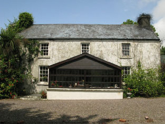 farm housefarm house · 1.9 mi
 Lissangle Castle (Site of)Castle, unclassified · 2.3 mi
 Monterey CypressMonterey Cypress · 2.6 mi
 Heritage CentreMuseum · 2.8 mi
 Bawn in Oldcourt (carbery West (e.d) By.)Bawn · 3.0 mi
 Bishop MahonyMemorial · 3.1 mi
 Wild Atlantic WayVisitor information · 3.9 mi
 Irish Sky GardenHeritage attraction · 4.5 mi
 Mannin BegIslet · 4.6 mi
Other information
Photo: Credit not shown in the picture search · Rights wording not checked; contact us if this picture should be removed