
What is recorded here
The Down Survey (1655-6) Barony map shows a bridge over a tributary of the River Ilen, to the E of a settlement cluster (CO141-138----) identified as the area now occupied by Skibbereen town. The precise location of this bridge is unknown.
The above description is derived from 'The Archaeological Inventory of County Cork. Volume 5' (Dublin: Stationery Office, 2009).
Date of upload: 22 December 2009
The monument record does not grant public access. Check the route and ask the landowner before entering private land.
- What survives
- Recorded monument
Places near here
 Man-made underground passage (Site of)Man-made underground passage · 530 yd
 Fulacht FianFulacht fia · 757 yd
 Deelish Househouse · 1280 yd
 KilnKiln, lime · 1523 yd
 Bawn in Oldcourt (carbery West (e.d) By.)Bawn · 1.4 mi
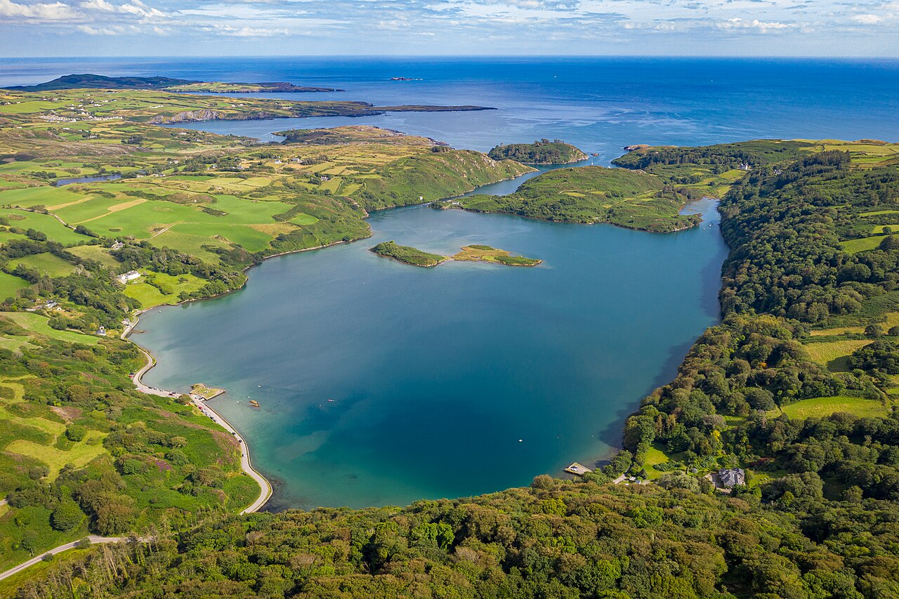 Lough HyneVisitor information · 1.5 mi
 Monterey CypressMonterey Cypress · 1.7 mi
 Heritage CentreMuseum · 1.8 mi
 Bishop MahonyMemorial · 2.1 mi
 Site of CastleCastle, unclassified · 2.5 mi
 Wild Atlantic WayVisitor information · 2.5 mi
 KnockomaghMountain / peak · 3.1 mi
Other information
Photo: Credit not shown in the picture search · Rights wording not checked; contact us if this picture should be removed