
What is recorded here
Gortnaclohy was a MacCarthy Reagh castle on the east bank of a Cork stream. O'Donovan still saw bawn traces in 1876, but those markers have vanished into pasture. The field keeps the shape of a lost residence, while the residence itself has gone back into the earth.
In pasture, on E bank of stream. Shown on OS 6-inch map (1842) as dotted circular area. According to O'Donovan (1876, 13), 'site of the 'bawn', and traces of the foundations, are still visible'. MacCarthy Reagh castle (Coleman 1922, 66). No visible surface trace.
The above description is derived from the published 'Archaeological Inventory of County Cork. Volume 1: West Cork' (Dublin: Stationery Office, 1992). In certain instances the entries have been revised and updated in the light of recent research.
Date of upload/revision: 14 January 2009
Built by the MacCarthy Reagh dynasty, the castle at Gortnaclohy dates to the late medieval period, likely the 15th or 16th century. It is remembered as a defensive stronghold associated with one of the key Gaelic families in Munster, reflecting the region's historical struggles and territorial divisions during the Tudor conquest.
The monument record does not grant public access. Check the route and ask the landowner before entering private land.
- What survives
- Recorded monument
Places near here
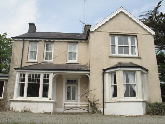 Woodley Househouse · 434 yd
 Mimosahouse · 490 yd
 Wild Atlantic WayVisitor information · 690 yd
 Burial GdBurial ground · 849 yd
 Bishop MahonyMemorial · 1272 yd
 Man-made underground passage (Site of)Man-made underground passage · 1313 yd
 Heritage CentreMuseum · 1530 yd
 Irish Sky GardenHeritage attraction · 1691 yd
 Coolngrane Fairy FortFort · 1.5 mi
 Lettertinlish Castle (Ruins)Castle · 1.6 mi
 Tober an IarainnSpring · 1.7 mi
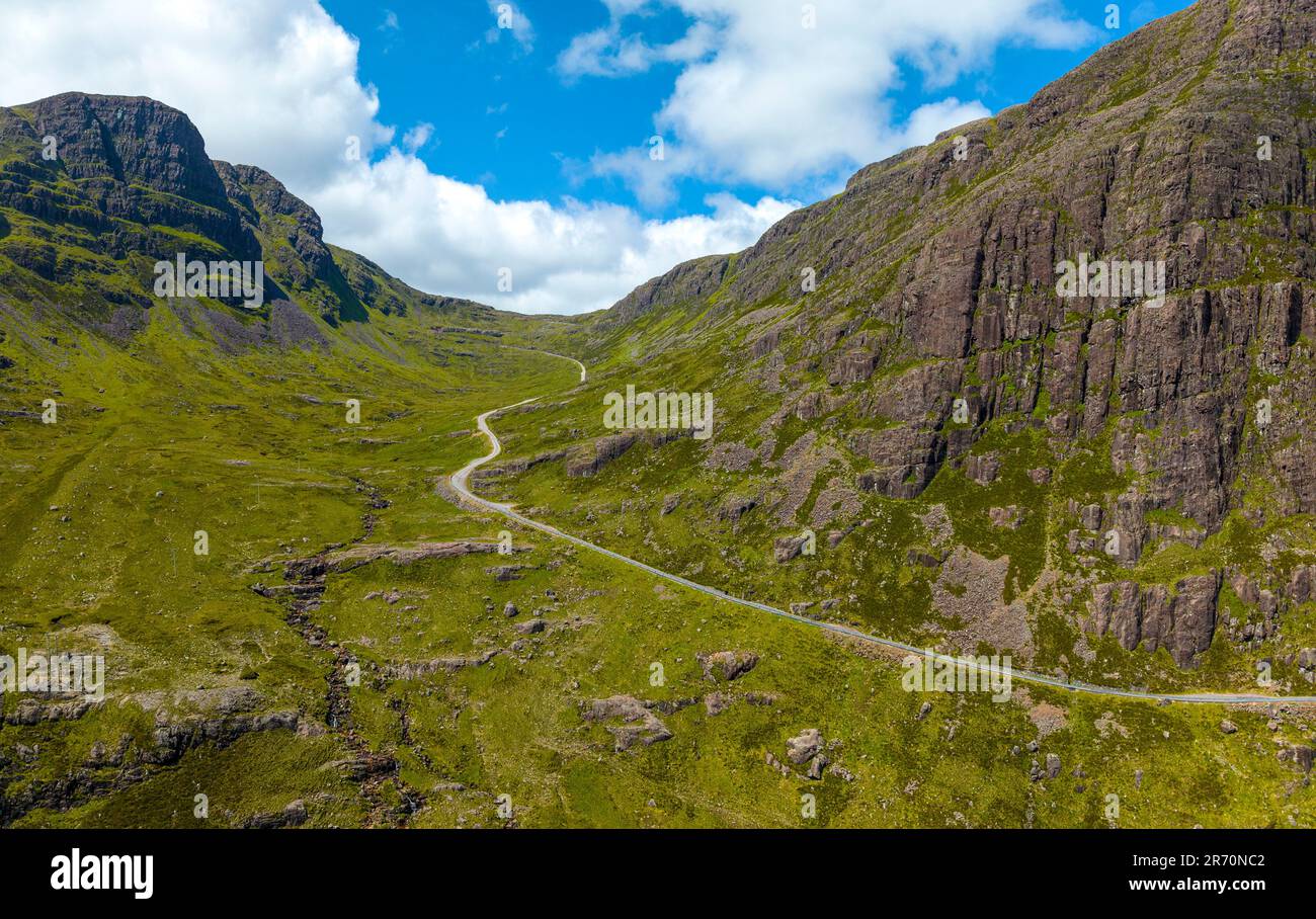 Bealach (pass)Viewpoint · 2.2 mi
Other information
Photo: Credit not shown in the picture search · Rights wording not checked; contact us if this picture should be removed