What is recorded here
In tillage, on E side of stream. Described by Hartnett (1939, 133) as a 'mound of blackened and charred stones'. No visible surface trace.
The above description is derived from the published 'Archaeological Inventory of County Cork. Volume 3: Mid Cork' (Dublin: Stationery Office, 1997). In certain instances the entries have been revised and updated in the light of recent research.
Date of upload/revision: 14 January 2009
The monument record does not grant public access. Check the route and ask the landowner before entering private land.
- What survives
- Recorded monument
Places near here
 Iniscarra Dam ViewViewpoint · 651 yd
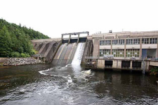 Inniscarra Hydro Electric Power Stationdam/reservoir/basin · 698 yd
 SurmountCountry house · 949 yd
 Castle Inch (in Ruins)Castle, tower house · 1529 yd
 Hugh MaguireMemorial · 1.0 mi
 Designed landscape feature in ArdrumDesigned landscape feature · 1.1 mi
 Marys Well, Sundays WellHoly well · 1.2 mi
 Graveyard in Carrigane (muskerry East By.)Graveyard · 1.2 mi
 Ballyanly Inniscarra Slí na SláinteWalking route · 2.3 mi
 Grange HillMountain / peak · 2.3 mi
 Ballincollig CastleCastle · 2.7 mi
 Cave in Ballincollig (muskerry East By., Carrigrohane Par.)Cave · 2.7 mi