
What is recorded here
Roofless overgrown T-shaped 2-storey house. Entrance front (S) of 7 bays, with end bay on each side carried slightly forward. Central round-headed door ope. Gable-ended with chimneys on gables. Much ruined farm buildings to rear. House demolished c. 1988 and reduced to pile of rubble.
The above description is derived from the published 'Archaeological Inventory of County Cork. Volume 3: Mid Cork' (Dublin: Stationery Office, 1997). In certain instances the entries have been revised and updated in the light of recent research.
Date of upload/revision: 14 January 2009
The monument record does not grant public access. Check the route and ask the landowner before entering private land.
- What survives
- Recorded monument
Places near here
 Iniscarra Dam ViewViewpoint · 1040 yd
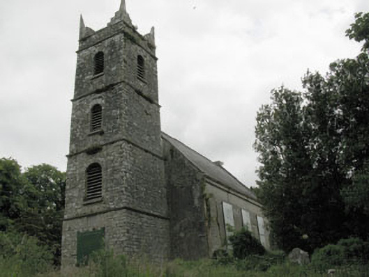 St Mary's Church of Ireland Churchchurch/chapel · 1230 yd
 Graveyard in Carrigane (muskerry East By.)Graveyard · 1238 yd
 Srelane Househouse · 1479 yd
 Enclosure in BarnagoreEnclosure · 1677 yd
 Burial in Grange (east Muskerry By.)Burial · 1703 yd
 Hugh MaguireMemorial · 1.0 mi
 Castle Inch (in Ruins)Castle, tower house · 1.2 mi
 Grange HillMountain / peak · 1.8 mi
 Ballincollig CastleCastle · 2.5 mi
 Cave in Ballincollig (muskerry East By., Carrigrohane Par.)Cave · 2.5 mi
 Ballyanly Inniscarra Slí na SláinteWalking route · 2.8 mi
Other information
Photo: Credit not shown in the picture search · Rights wording not checked; contact us if this picture should be removed