
What is recorded here
In deciduous woodland. Shown as small circular mound on 1939 OS 6-inch map, immediately W of standing stone (CO073-007002-), in demesne of Ardrum House (CO073-009----). Flat circular area (diam. 11.2m) enclosed by low earthen bank (H 0.6m). Recorded by Hartnett (1939, 224), who was doubtful as to its nature and noted that such structures are common in demenses in the district as shelters for cattle. Woodland cleared c. 1984 and site levelled. Similar feature (CO073-006----) c. 150m to NW.
The above description is derived from the published 'Archaeological Inventory of County Cork. Volume 3: Mid Cork' (Dublin: Stationery Office, 1997). In certain instances the entries have been revised and updated in the light of recent research.
Date of upload/revision: 14 January 2009
The monument record does not grant public access. Check the route and ask the landowner before entering private land.
- What survives
- Recorded monument
Places near here
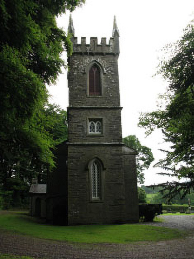 Saint Senan's Churchchurch/chapel · 663 yd
 Ardrum House (in Ruins)Country house · 817 yd
 Fulacht fia in BridgestownFulacht fia · 1180 yd
 IndicatedFairy fort / earthen ringfort · 1.0 mi
 Castle Inch (in Ruins)Castle, tower house · 1.2 mi
 Iniscarra Dam ViewViewpoint · 1.3 mi
 Ballyanly Inniscarra Slí na SláinteWalking route · 1.3 mi
 Bob AdamsMemorial · 1.4 mi
 Hugh MaguireMemorial · 1.5 mi
 Cave in Ballincollig (muskerry East By., Carrigrohane Par.)Cave · 3.2 mi
 Ballincollig CastleCastle · 3.2 mi
 Grange HillMountain / peak · 3.4 mi
Other information
Photo: Credit not shown in the picture search · Rights wording not checked; contact us if this picture should be removed