What is recorded here
Situated on a level landscape. Topsoil stripping (02E0194) in advance of a gas pipeline identified a burnt stone spread (BGE: 1A/16/1) that was completely excavated (02E0691). It consisted of a mound of heat-shattered material in interrupted sections (dims 16m N-S; 5.4m E-W) which overlay a two fulachta fia. At the S end a spread of burnt material (dims c. 5.5m x c. 5m) overlay an oval trough (dims 1.2m x 0.9m; max. D 0.23m) which had a small deposit of burnt stone at the bottom. The lithic scatter (ME038-037----) is c. 40m to the W. (Tobin 2003, 3-4; Tobin 2004; Tobin 2007)
Compiled by: Michael Moore
Date of upload: 8 March 2018
The monument record does not grant public access. Check the route and ask the landowner before entering private land.
- What survives
- Recorded monument
Places near here
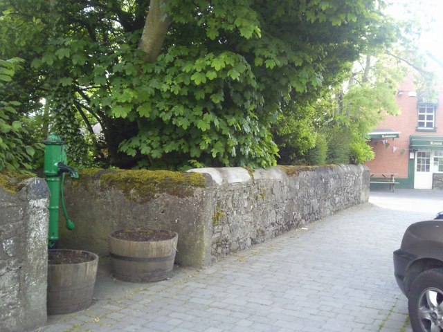 Enclosure in RatoathEnclosure · 1.3 mi
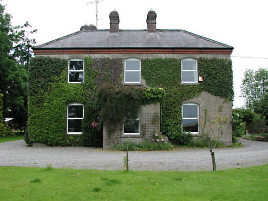 Park Househouse · 1.6 mi
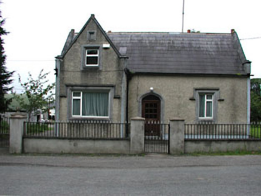 The Barrackshouse · 1.7 mi
 CrossCross, Market cross · 1.7 mi
 MoatCastle, motte and bailey · 1.8 mi
 Lemur WoodWood · 2.2 mi
 Emerald ParkHeritage attraction · 2.3 mi
 Macetown CastleCastle, tower house · 3.8 mi
 Newtown HillMountain / peak · 4.0 mi
 The Pond WoodWood · 4.6 mi
 Lismahon 1798 MemorialMonument · 4.6 mi
 Cornstown HouseHeritage attraction · 4.9 mi