What is recorded here
One of eight fulachta fiadh recorded by Broker (1937, 15) on Eugene J. O'Sullivan's land (see CO039-156---; CO039-157---; CO039-158---; CO039-159---; CO039-160---; CO039-161---; CO039-224---). Described as....'roughly circular....11 feet across, 3 feet high' (ibid.). Exact location not known. Locations of two other fulachta fiadh (CO039-089---; CO039-090---) identified in townland; these may or may not account for two of the eight.
The above description is derived from the published 'Archaeological Inventory of County Cork. Volume 3: Mid Cork' (Dublin: Stationery Office, 1997). In certain instances the entries have been revised and updated in the light of recent research.
Date of upload/revision: 14 January 2009
The monument record does not grant public access. Check the route and ask the landowner before entering private land.
- What survives
- Recorded monument
Places near here
 BarrowBarrow, ring-barrow · 793 yd
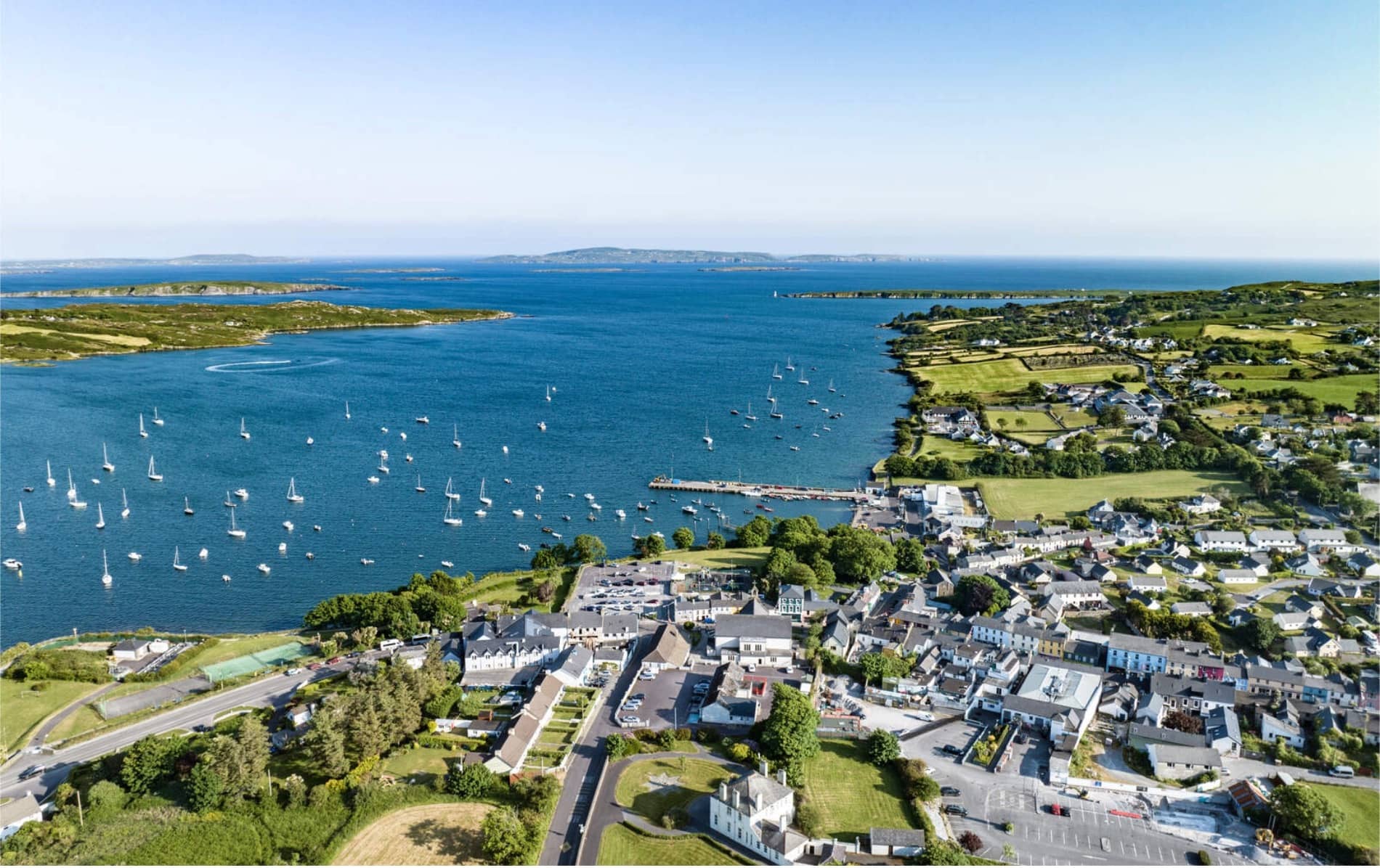 IndicatedFairy fort / earthen ringfort · 860 yd
 Aubane Bridgebridge · 1712 yd
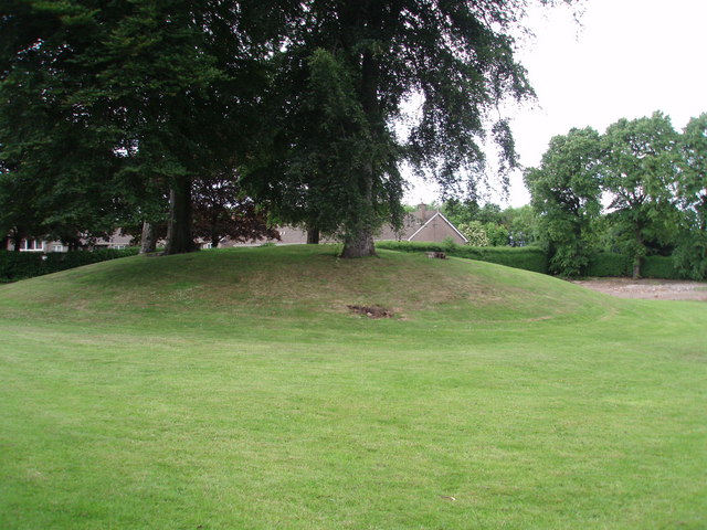 TumulusKiln, lime · 1.1 mi
 Castle and TurretCastle, tower house · 2.0 mi
 Blackwater (Duhallow) WayWalking route · 2.2 mi
 Millstreet Tourist InformationVisitor information · 2.2 mi
 St. Patrick's ChurchVisitor information · 2.2 mi
 Millstreet Museum & Tourist Information CentreMuseum · 2.2 mi
 RowanRowan · 2.3 mi
 Rathcool WoodWood · 2.7 mi
 Kilmeedy CastleCastle, tower house · 2.8 mi