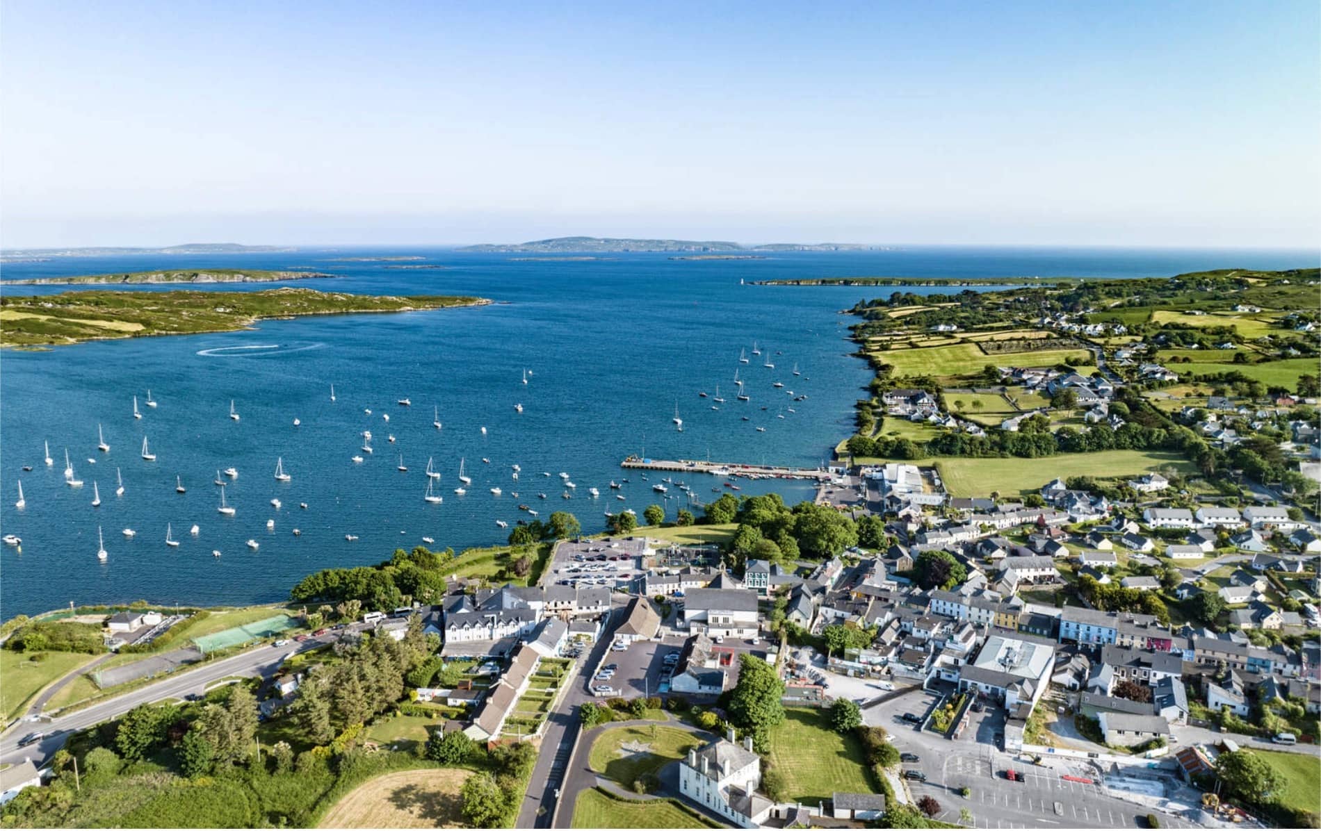
What is recorded here
Indicated is a circular earthen fort thirty metres across, perched on a NW-facing slope above the Blackwater and Owenbaun rivers in County Cork. Its bank rises higher to the southeast, strengthened with stone and marked by an upright fragment, while conifers now crowd the interior pasture. The shape suggests humans once valued the view enough to build a defensible ring around it, though no named resident or date survives in the facts provided.
In pasture, on break in NW-facing slope; commanding view of Blackwater River to N and NE along the Owenbaun River. Circular area (diam. c. 30m)defined by earthen bank (H 1.1m) NE->W; scarp (H 1.7m) elsewhere; external fosse (D 0.5m) NE->SW. Bank height greatest to SE; strengthened with stonework in parts; upright stone, at base of external bank face to NE, may be part of original stone facing. Interior planted with conifers.
The above description is derived from the published 'Archaeological Inventory of County Cork. Volume 3: Mid Cork' (Dublin: Stationery Office, 1997). In certain instances the entries have been revised and updated in the light of recent research.
Date of upload/revision: 14 January 2009
The monument record does not grant public access. Check the route and ask the landowner before entering private land.
- What survives
- Recorded monument
Places near here
 BarrowBarrow, ring-barrow · 113 yd
 Man-made underground passageMan-made underground passage · 420 yd
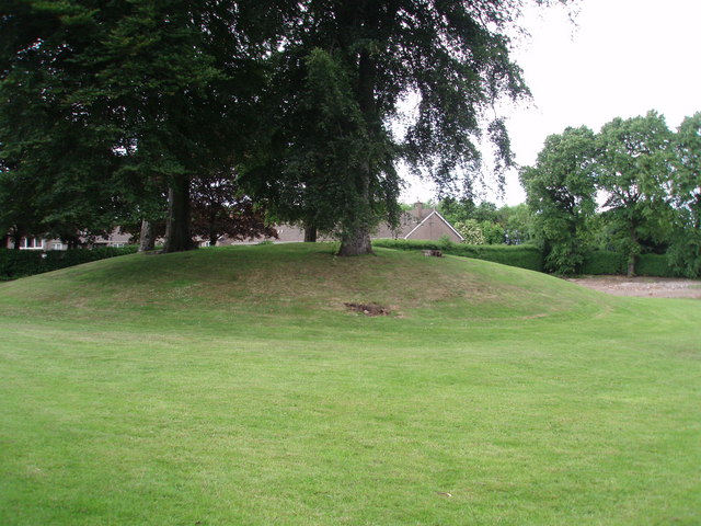 TumulusKiln, lime · 1091 yd
 Church in ShannaknockChurch · 1602 yd
 Castle and TurretCastle, tower house · 1.5 mi
 Millstreet Tourist InformationVisitor information · 1.9 mi
 St. Patrick's ChurchVisitor information · 1.9 mi
 Millstreet Museum & Tourist Information CentreMuseum · 2.0 mi
 RowanRowan · 2.2 mi
 Dromsicane Castle (in Ruins)Bawn · 2.4 mi
 Rathcool WoodWood · 2.5 mi
 Blackwater (Duhallow) WayWalking route · 2.7 mi
Other information
Photo: Credit not shown in the picture search · Rights wording not checked; contact us if this picture should be removed