What is recorded here
Ceremonial enclosure in Friarstown (clanwilliam By., Roxborough Ed) is a sub circular hilltop boundary in County Limerick, Ireland, with a scarped edge, outer bank and flat-bottomed ditch. Its southern and western parts still stand out beneath woodland, while ploughing has worn the rest almost to a rumour. The interior rises toward the summit, where panoramic views stretch from the low-domed hill. People may have gathered there for ceremony, defence or both, but the earth no longer answers that question plainly.
Situated on a hilltop with parts of the S and W quadrants located in woodland. Sub circular area (112m N-S; 110m NE-SW) defined by a scarped edge (H 1m; Wth 3m - 4.6m) and an outer earthen bank with an intervening fosse. The fosse (Wth 2.2 - 3.1m) is flat-bottomed. The bank (ext. H 0.3 - 1m; Wth 2.2 - 3.1m; int. H 0.2 - 0.4 m) is better defined to SE and SW in the wooded area, where it is of dry-stone construction, suggesting that it has this construction but has been denuded elsewhere. The monument has been truncated to the SE by a cashel (LI013-093----). The interior slopes upwards on all sides towards the summit of the hill. According to Kelly and Condit (1998) this monument is one of two 'best interpreted as henges'; the other is LI013-094002-. Outline of monument visible on oblique aerial photographs (CUCAP AVT001/002/003) taken 20/07/1968.
This monument was recently described in the Atlas of Hillforts of Britain and Ireland as following; 'Contour fort positioned on the low-domed summit of an isolated hill, 7.5km S of Limerick City. The hillfort has a total site footprint of 1.5ha. There are panoramic views from the summit. Immediately to the NE is a second hillfort, positioned on a low-domed shoulder of the hill (Atlas No.0683). The enclosing elements comprise a pair of closely set banks with an intervening ditch. The outer bank is likely to be a counterscarp feature. There are no obvious entrance features recorded. No evidence for any internal features on the surface. Extensive plough damage has denuded the enclosing elements. The S and W section of the enclosing features are under forestry. Kelly and Condit (1998, 19) have suggested that this is a large henge monument. However, the commanding position of the monument and the layout of its enclosing elements suggest that it is more likely to be a hillfort. First identified by the Cambridge University Committee for aerial photography. Site visit by Kelly and Condit (1998) who partly recorded the enclosing elements.' (http://hillforts.arch.ox.ac.uk/records/IR0682.html)
Compiled by: Denis Power
Revised by: Caimin O'Brien
Date of revised upload: 30 January 2020
The monument record does not grant public access. Check the route and ask the landowner before entering private land.
- What survives
- Recorded monument
Places near here
 CastleCastle, ringwork · 93 yd
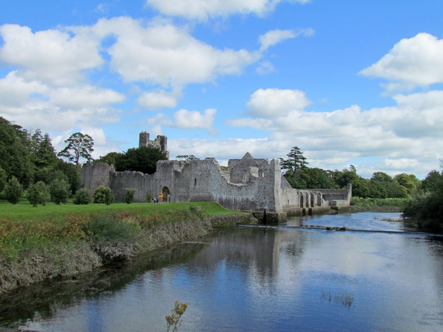 Man-made underground passage in Friarstown (clanwilliam By., Roxborough Ed)Man-made underground passage · 101 yd
 Quarry in Friarstown NorthQuarry · 229 yd
 Friary (in ruins)Religious house, Franciscan Third Order Regular · 466 yd
 Enclosure in Parkroe (clanwilliam By.)Enclosure · 810 yd
 Bawn in Raheen (clanwilliam By., Roxborough Ed)Bawn · 1485 yd
 Villiers WellSpring · 1.9 mi
 Carnane RockNamed rock · 1.9 mi
 ToberauillinSpring · 1.9 mi
 European ashEuropean ash · 4.4 mi
 Limerick Seamen's MemorialMemorial · 4.8 mi
 Saint John Paul IIMemorial · 4.8 mi