What is recorded here
A rectangular granite block (L 0.73m; Wth 0.48m; T 0.4m) with one side broken away indicating that it was originally wider. The rectangular basin survives along three sides (D 0.21m; L at top 0.43m; L at base 0.42m; est. Wth 0.36m). The sides of the basin are almost vertical. The rim is quite damaged, but originally was probably flat. There is no evidence for a drain hole, though this may have come away with the broken side of the font.
Compiled by: Chris Corlett and Claire Breen
Date of upload: 8 June 2012
The monument record does not grant public access. Check the route and ask the landowner before entering private land.
- What survives
- Recorded monument
Places near here
 Church in ruinsChurch · 3 yd
 CastleCastle, ringwork · 330 yd
 IndicatedFairy fort / earthen ringfort · 402 yd
 St. Patricks WellHoly well · 1078 yd
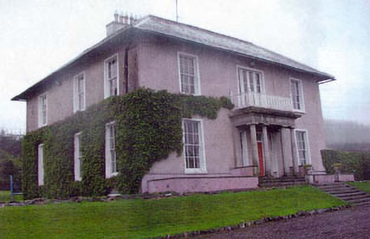 Kiltimon Housecountry house · 1640 yd
 Castle (in Ruins)Castle, ringwork · 1.8 mi
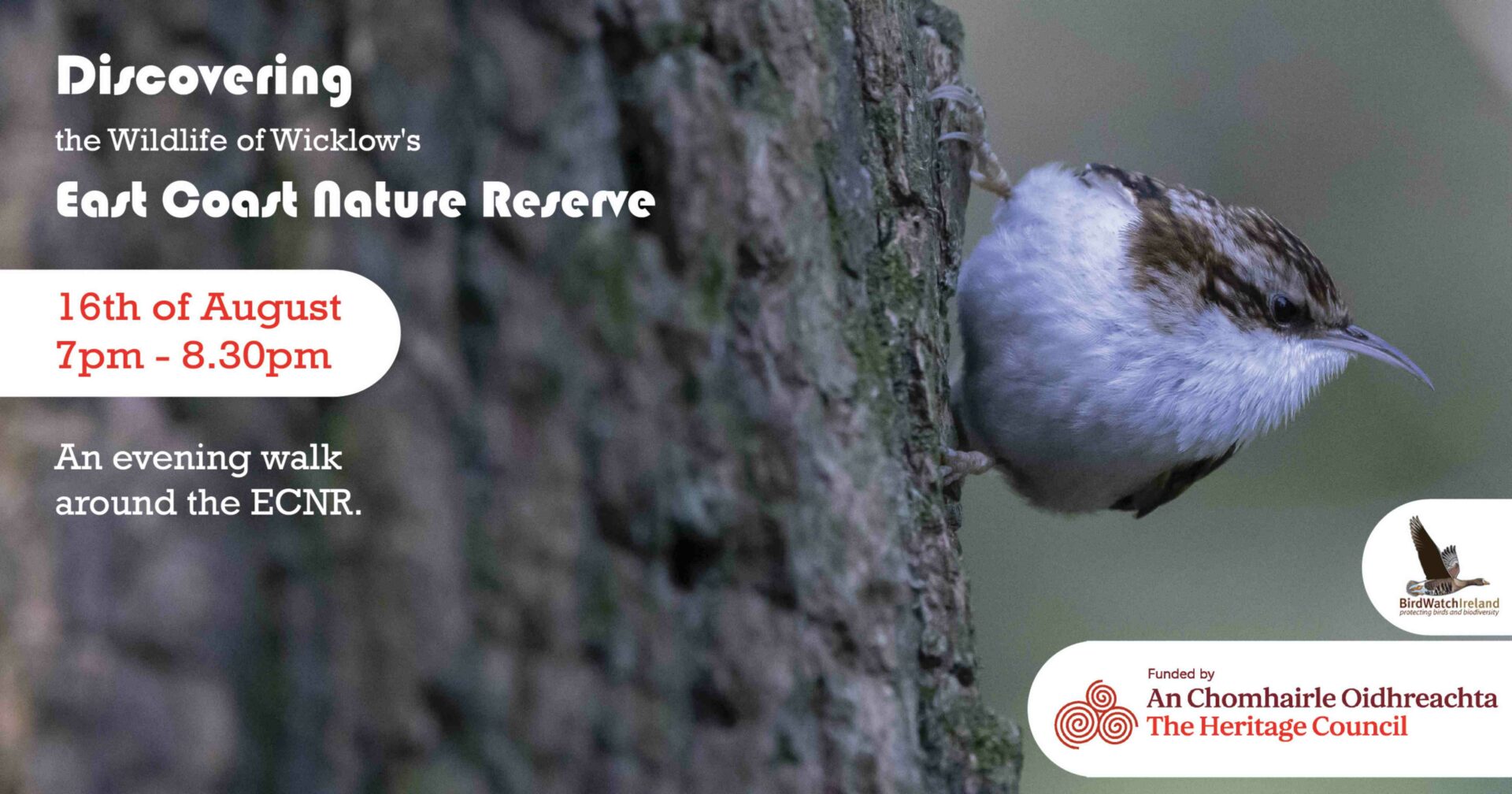 East Coast Nature ReserveNature reserve · 1.9 mi
 Chestnut-leaved OakChestnut-leaved Oak · 2.9 mi
 Leamore StrandBeach / strand · 3.0 mi
 Devil's Glen WaterfallWaterfall · 3.9 mi
 Glenroe FarmHeritage attraction · 4.7 mi
 Carrick MountainMountain / peak · 5.7 mi