What is recorded here
Flat cemetery in Blackcastle Demesne holds eight stone cists and two pit burials on a gentle slope above the River Boyne. Ploughing broke the first capstone in 1990, but the buried chamber waited patiently for H. Roche to uncover its full extent in 1994. Child, adult, juvenile and cremated remains lay crouched or scattered inside shallow stone boxes, some marked only by a pot sherd, flint fragment or cream-coloured vessel. The absence of a mound did not diminish the ceremony; it simply returned the dead to the grass, rain and river mist instead of raising them into a hill.
Located on a gentle a SE-facing slope and just above the steep slope down (H c. 10m) to the valley of a SSW-NNE portion of the River Boyne. Its precise location is not known but ploughing in 1990 revealed the capstone of a possible cist which was reported to the National Museum of Ireland. An exploratory excavation (90E0017) by H. Roche for the Museum in 1990 revealed a cemetery (excavationis.ie 1990: 090) which it was not possible for that archaeologist to excavate fully until 1994 under the same licence (excavations.ie 1994:189). The cemetery consists of eight stone cists and two pit burials but there was no evidence of a covering mound. The numbering of features in excavations.ie is not consistent with that in the full report (Roche 1994) which is followed here.
Cist 1 (dims 1.35m E-W; 0.75m N-S; D 0.5m) contained the remains of a child in a crouched position with the head at E but with no grave goods. Cist 2 (dims 1.3m x 1m; D 0.45m) had six side-stones but the capstone was missing and it contained the remains of an adult in a crouched position and the base of a poorly preserved pot.
Cist 3 (dims 0.76m N-S; 0.57m E-W; D 0.3m) contained the crouched inhumation of a juvenile facing E but with no grave-goods. Cist 4 (dims 0.82m x 0.71m; D 0.52m) had only three side-stones and contained some bones but no grave-goods. Cist 5 was a large cist (dims 1.6m x 1m; D 0.5m) with a large capstone (dims 1.65m x 1.6m; T 0.25m). It had been disturbed by a borrowing animal but held the disarticulated remains of an adult together with a Food Vessel sherd, a worked flint and a polished stone.
Cist 6 had been exposed in 1990 but it and the remainder of the features were excavated in 1994. Cist 6 (dims 0.68m x 0.51m; D 0.38m) had no capstone but it contained a substantial cremated deposit. There were no grave-goods but fragments of unburned human bone were found outside it. Cist 7 was a subcircular pit (dims 0.88m x 0.67m; max. D 0.62m) with some side-stones that was covered by a large hog-backed stone (dims 1.15m x 0.76m; H 0.58m). It contained neither a burial nor grave-goods although it had been disturbed and might not constitute a true cist. Cist 8 (dims 0.93m x 0.58m; max. D 0.22m) was constructed of small stones but had also been disturbed and lacked a capstone. It contained a large cremation deposit that had the poorly preserved remains of a tripartite bowl food vessel on top of it and a cremated boar’s tusk and a chert fragment within it. Pit-burial 1 (dims 0.66m x 0.48m; D 0.17m) had small stones lining its base and a poorly preserved food vessel was with the cremation, but only the edge of Pit-burial 2 was within the excavated area. (Roche 1994)
See the attached site plan from Roche (1994, fig. 2)
Compiled by: Michael Moore
Date of upload: 30 March 2023
Roche, H. 1994 Early Bronze Age Cemetery at Donaghmore, County Meath. Licence: 90E0017. Unpublished report, Author
A Neolithic flat cemetery, likely dating to the 4th–3rd millennium BCE, associated with the broader passage tomb tradition of the Boyne Valley; its location near the River Boyne suggests potential links to the monumental landscape of Brú na Bóinne.
The monument record does not grant public access. Check the route and ask the landowner before entering private land.
- What survives
- Recorded monument
Places near here
 Enclosure in Blackcastle DemesneEnclosure · 201 yd
 Blackcastle DemesneWood · 312 yd
 Rowley's WoodWood · 313 yd
 Bridge in Ferganstown and BallymaconBridge · 328 yd
 Church (in Ruins)Church · 429 yd
 Donaghmore Round TowerHeritage attraction · 451 yd
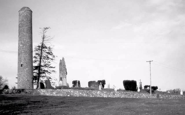 Round TowerRound tower · 451 yd
 Dunmoe CastleCastle, unclassified · 1504 yd
 Nangle CourtMemorial · 1.6 mi
 CastleCastle, motte · 1.6 mi
 Carn HillMountain / peak · 1.8 mi
 Mullagha HillMountain / peak · 4.3 mi