What is recorded here
Located towards the top of the NE-facing slope of Skreen Hill. The cropmarks of small rectangular fields (dims c. 20m x c. 20m to c. 30m x c. 50m) defined by single fosse features and covering an area of about 8 acres (c. 3 ha) are visible on aerial photographs (ME032-079_1 to _3).
Compiled by Michael Moore based on details provided by Oliver and Noel Murphy.
Date of upload: 7 August, 2018
The monument record does not grant public access. Check the route and ask the landowner before entering private land.
- What survives
- Recorded monument
Places near here
 EmbankmentEnclosure · 1208 yd
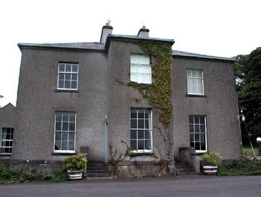 Skryne Rectoryrectory/glebe/vicarage/curate's house · 1366 yd
 Enclosure in LismullinEnclosure · 1646 yd
 CastleCastle, tower house · 1710 yd
 Sit of Old MonasteryReligious house, Augustinian nuns · 1.1 mi
 Skreen CastleCastle, tower house · 1.3 mi
 Candle HillMountain / peak · 1.4 mi
 European ashEuropean ash · 2.0 mi
 Hill of TaraVisitor information · 2.2 mi
 Tara Open StudioGallery · 2.2 mi
 Saint Patrick'sMemorial · 2.2 mi
 Battle of Tara Hillbattle · 2.4 mi