What is recorded here
The following description is derived from both the published 'Archaeological Inventory of County Louth' (Dublin: Stationery Office, 1986) and the 'Archaeological Survey of County Louth' (Dublin: Stationery Office, 1991). In certain instances the entries have been revised and updated in the light of recent research.
Date of upload/revision: 17 July 2007
Possible traces of an ancient field system visible on aerial photograph (CUCAP, AOY 24).
The monument record does not grant public access. Check the route and ask the landowner before entering private land.
- What survives
- Recorded monument
Places near here
 Religious houseReligious house, Augustinian, of Arrouaise nuns · 332 yd
 LismanaghanEcclesiastical site · 427 yd
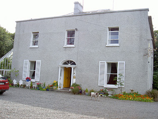 Glaspistol Househouse · 601 yd
 Castle RuinsCastle, tower house · 627 yd
 Man-made underground passage in ClogherMan-made underground passage · 996 yd
 Termonfeckin CastleCastle · 2.0 mi
 Chapel (in Ruins), GraveyardChurch · 3.5 mi
 Moneyveg WoodForest · 3.9 mi
 Graveyard in DysartGraveyard · 4.3 mi
 Sweet baySweet bay · 4.4 mi
 Beaulieu House and GardensHeritage attraction · 4.5 mi
 Tullydonnell HillMountain / peak · 5.3 mi