What is recorded here
Field system in Cronin,gortaphuill (athlone North By.) is a field system in Cronin,gortaphuill (athlone North By.), County Roscommon, Ireland. On a gentle SE-facing slope, about 48 acres contain grass-covered stone wall foundations forming small rectangular fields associated with a roadway. One curving wall traces most of the perimeter of an oval enclosure, while two rectangular house sites and lazy-beds remain within the system.
On a gentle SE-facing slope. An area of about 48 acres (c. 20 ha) contains the grass-covered foundations of stone walls (Wth c. 1.5m) forming small, generally rectangular fields (dims c. 30m x c. 50m to c. 50m x c. 100m) associated with roadway RO047-015006-). The road may be contemporary with cashel (RO047-015002-) as it approaches its perimeter but does not overlie it. One curving wall traces most of the perimeter of an oval enclosure (dims c. 330m E-W; c. 180m N-S) with the cashel (RO047-015002-) on its perimeter at the SE, but much of this is now in reclaimed ground to the N. The cashels (RO047-015001-; RO047-015004-) are also within the field system. Two rectangular house sites (RO047-015007-; RO047-015008-) defined by stone wall footings are probably post-medieval and lazy-beds are associated with some of the fields.
Compiled by: Michael Moore
Date of upload: 24 August 2010
The monument record does not grant public access. Check the route and ask the landowner before entering private land.
- What survives
- Recorded monument
Places near here
 Cronin FortFairy fort / earthen ringfort · 574 yd
 Embanked enclosureFairy fort / earthen ringfort · 814 yd
 Inchnaveague IslandIslet · 1.4 mi
 InchnagowerIslet · 1.5 mi
 RoadRoad, road/trackway · 1.9 mi
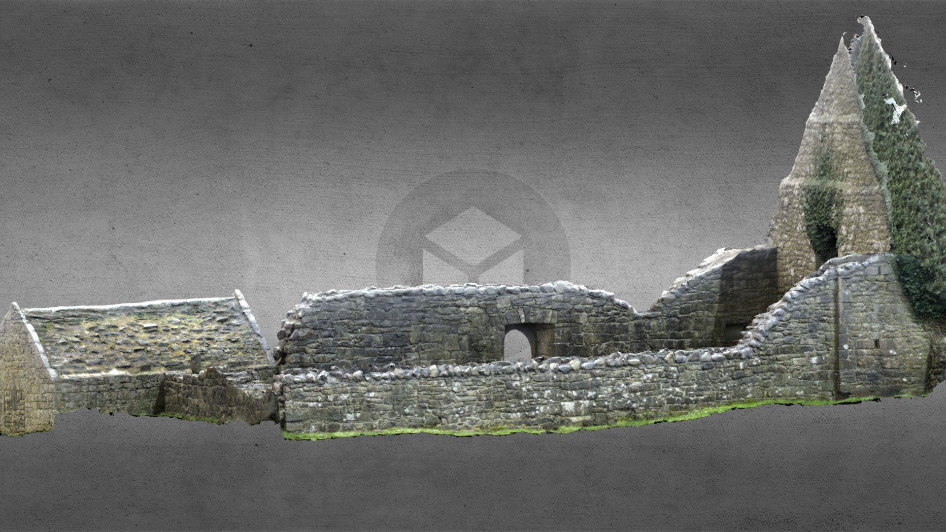 Church (in Ruins)Church · 2.0 mi
 CastleCastle, unclassified · 2.1 mi
 Castle (Site of)Castle, unclassified · 3.8 mi
 Sheep HillMountain / peak · 5.0 mi
 European Crab AppleEuropean Crab Apple · 5.6 mi
 Aughrane WoodsForest · 6.6 mi
 Mount MaryMountain / peak · 9.7 mi