What is recorded here
Locating on a broad, blanket bog-covered ridge. Ground falls on the E side of the ridge into the Easkey River valley, and on the W into the small stream valley of the Straffaun Ioe. This record was not listed in the SMR (1989) but was listed in the RMP (1995) as ‘field system -pre-bog’: the source of this record is unknown and there is no field report from the 1990’s on file. The location as depicted on the 1913 OS 6-inch map is featureless and it is likely that the co-ordinates listed in the RMP (1995) were approximate only. An inspection of the area was carried out in 2014. No trace of a field system was evident in the SE part of the field at the co-ordinates listed in the RMP (1995), however, in the NE quadrant of the field, a possible field wall was noted it consists of a gapped, linear concentration of stones which can be can be traced for c. 20m on a NNE–SSW orientation. The stones barely protrude above the bog surface. They are loosely spread with gaps of between 0.2-1.2m between individual stones. No evidence was found for an extensive field system.
Compiled by: Jane O'Shaughnessy
Date of upload: 15 August 2014
The monument record does not grant public access. Check the route and ask the landowner before entering private land.
- What survives
- Recorded monument
Places near here
 Giant's GriddleArchaeological place · 1006 yd
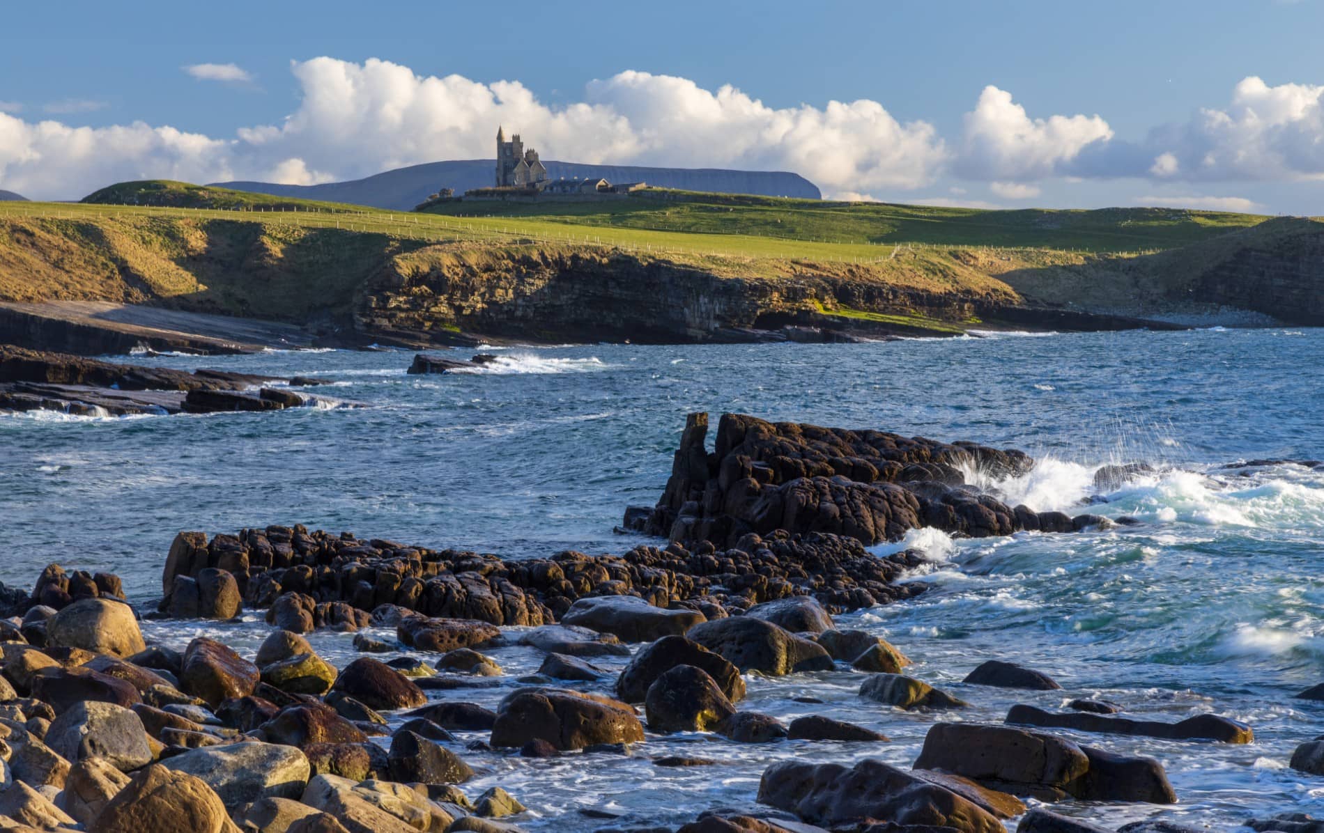 IndicatedEnclosure · 1021 yd
 CastleCastle, unclassified · 1.6 mi
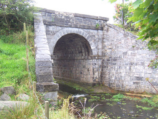 bridgebridge · 2.0 mi
 Camphill Househouse · 2.4 mi
 Ballynahowna CastleCastle, tower house · 3.3 mi
 MeenamaddoMountain / peak · 4.6 mi
 Split RockNamed rock · 5.0 mi
 White RockNamed rock · 5.2 mi
 Sruffaungarve TopMountain / peak · 5.2 mi
 Jim Smith MemorialMemorial · 6.2 mi
 Wild Atlantic Way: Easky PierVisitor information · 6.2 mi