What is recorded here
This monument was reported to the Archaeological Survey of Ireland by Tony Miller on 4 September 2013. He describes it as follows:
"A section of collapsed relict field boundary within an area of bog and rough grazing on a south facing hillside. It is not far from the summit of Conigar and to the east of Lough Narman.
The field boundary is c. 30m in length, runs northwest-southeast and is c. 1.5m in width and up too 0.4m in height. It is well made with a double line of large rocks. It is sited at the top of an area of rough grazing before the terrain becomes very broken and craggy."
Compiled by: Denis Power
Date of upload: 16 September 2013
The monument record does not grant public access. Check the route and ask the landowner before entering private land.
- What survives
- Recorded monument
Places near here
 Hut site in Curraglass (bantry By.)Hut site · 720 yd
 FoilastookeenMountain / peak · 892 yd
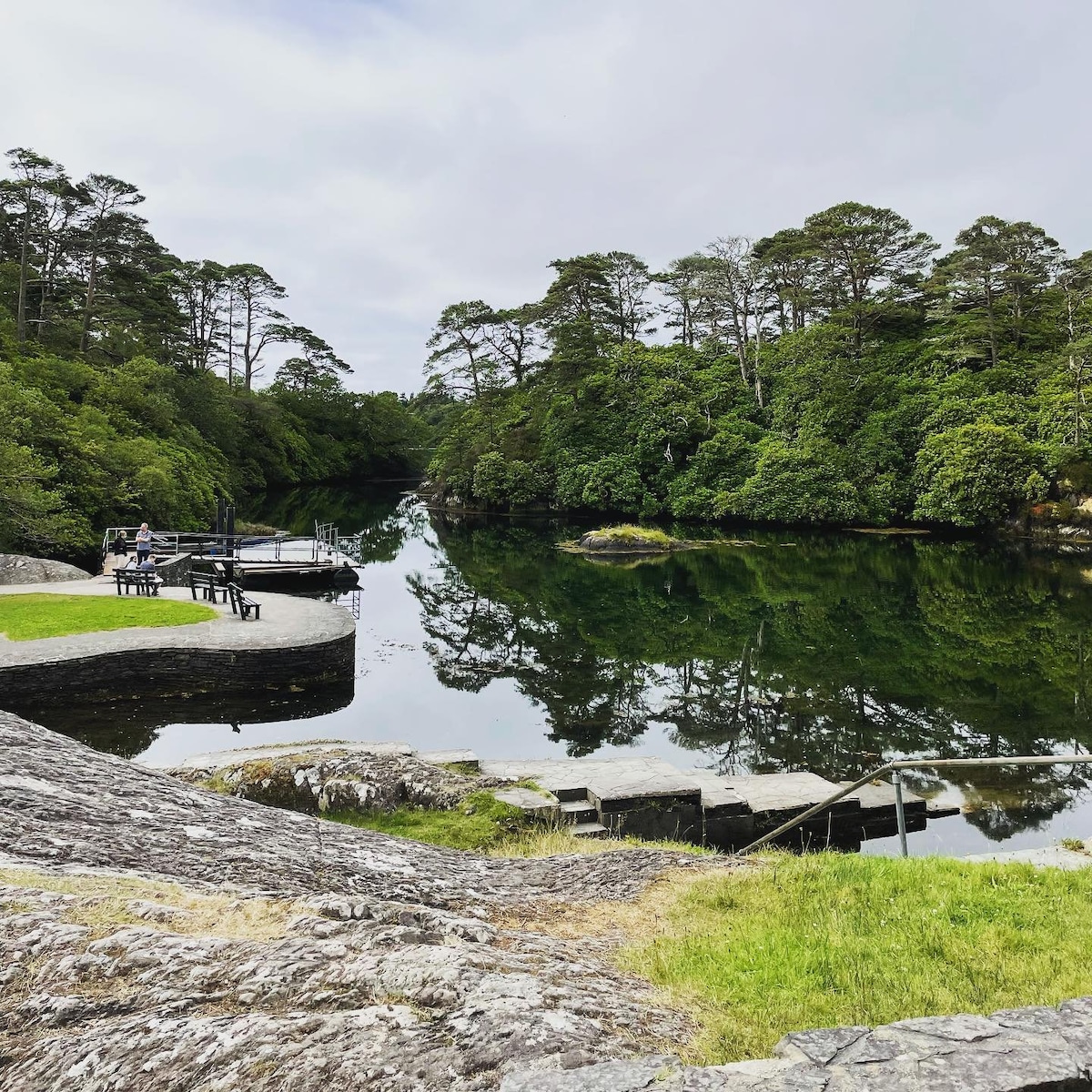 Enclosure in Lackavane (bantry By.)Enclosure · 1520 yd
 Aireagal Naomh Finbarr [Saint Finbarr's Oratory]church/chapel · 1.7 mi
 European ashEuropean ash · 1.7 mi
 Gougane BarraValley and heritage place · 1.7 mi
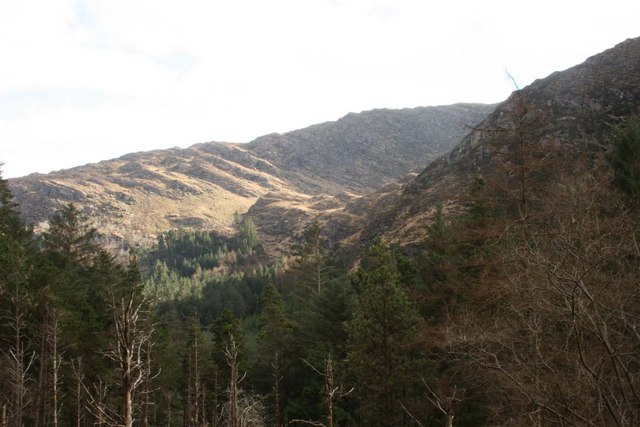 BealickMountain / peak · 1.8 mi
 Clapper bridge in Ros An LochaClapper bridge · 2.0 mi
 CaoinkeenCliff · 4.0 mi
 St Finbarr's Pilgrim RouteWalking route · 4.5 mi
 Carriganass CastleCastle · 4.8 mi
 The Priests LeapViewpoint · 5.9 mi