What is recorded here
This monument was brought to the attention of the Archaeological Survey of ireland by Tony Miller on 4 September 2013. He describes it as follows:
"A rectangular enclosure/ dwelling, on a steep south facing slope to the east of the Lackavane river. In an area of rough mountain grazing this hut site has been built around a large boulder along its western side. It is orientated north-south and has internal measurements of c. 6.7m by c. 3.4m with a maximum wall height of c. 1.4m. The walls are roughly built of field stones but with some large slabs laid upright against the inside of the southern wall. There are entrances, both c. 0.7m in width, in the northwest and southeast corners. The entrance to the northwest has a large slab laid down in the threshold and has a ridge of bedrock next to it. The western wall is almost totally made up of the boulder which rises to height of c.3m. It could have been a dwelling but is more likely to have been an enclosre for animals, especially with the sloping interior."
Compiled by: Denis Power
Date of upload: 16 September 2013
The monument record does not grant public access. Check the route and ask the landowner before entering private land.
- What survives
- Recorded monument
Places near here
 Hut site in Curraglass (bantry By.)Hut site · 1418 yd
 FoilastookeenMountain / peak · 1.3 mi
 Mass-rock in DerrynafinchinMass-rock · 1.4 mi
 MineMine, copper · 1.9 mi
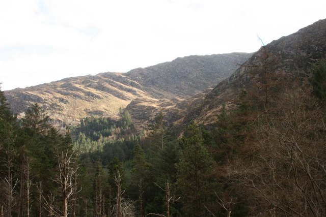 BealickMountain / peak · 2.4 mi
 Aireagal Naomh Finbarr [Saint Finbarr's Oratory]church/chapel · 2.5 mi
 European ashEuropean ash · 2.5 mi
 Gougane BarraValley and heritage place · 2.6 mi
 CaoinkeenCliff · 3.7 mi
 St Finbarr's Pilgrim RouteWalking route · 3.9 mi
 Carriganass CastleCastle · 4.0 mi
 Kealkill stone circleVisitor information · 4.5 mi
Other information
Photo: Credit not shown in the picture search · Rights wording not checked; contact us if this picture should be removed