
What is recorded here
Situated on a boulder-strewn E-facing slope on the E side of the Monavullagh Mountains, on the outflow from Coumshingaun corrie, which is c. 1km to the SW, and located at a point where the slope increases dramatically down to the E. Boulders have been gathered into a wide spread (Wth 5m; H 1m) forming a rough wall (L c. 70m) with either end curving slightly to the N.
Compiled by: Michael Moore
Date of upload: 21 February 2011
The monument record does not grant public access. Check the route and ask the landowner before entering private land.
- What survives
- Recorded monument
Places near here
 IndicatedFairy fort / earthen ringfort · 361 yd
 Enclosure in KilclooneyEnclosure · 994 yd
 LackaduffMountain / peak · 1224 yd
 Kilclooney WoodForest · 1452 yd
 StookanmeenMountain / peak · 1564 yd
 CoumshingaunMountain corrie and lake · 1653 yd
 Church in CoolnahornaChurch · 1.1 mi
 The Boolas Linear TrailWalking route · 1.8 mi
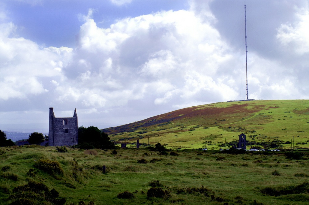 Mine in KnockaturnoryMine · 1.9 mi
 Mahon FallsWaterfall · 2.4 mi
 Mahon ValleyCliff · 2.4 mi
 The Boolas LoopWalking route · 2.5 mi
Other information
Photo: Credit not shown in the picture search · Rights wording not checked; contact us if this picture should be removed