What is recorded here
Fairy fort in Fennor Lower is a broken earthen circle on a rise, its narrow eastern entrance still marked while the north gap has widened to seven metres. People may have lived inside the bank before scrub and field edges swallowed the rest, but the shape remains sharp enough to suggest a door rather than a hole. The missing south and west sections do not erase the place; they redirect attention to the eastern opening where human entry and exit would have been controlled.
Situated on a rise in an undulating landscape. This is a raised subcircular grass and scrub-covered area (dims 26.5m NNW-SSE; 22m NE-SW) defined by an overgrown earthen bank (Wth of base 5.5-6m; int. H 0.8m; ext. H 1.6-1.8m) which is incorporated into a field bank W-N, but there is no visible fosse. There are gaps at S and W and a wide one (Wth 7m) at N, but the original entrance (Wth of base 1.9m) is at ENE.
The above description is derived from the published 'Archaeological Inventory of County Meath' (Dublin: Stationery Office, 1987). In certain instances the entries have been revised and updated in the light of recent research.
Compiled by: Michael Moore
Date of revision: 31 October 2018
The monument record does not grant public access. Check the route and ask the landowner before entering private land.
- What survives
- Recorded monument
Places near here
 Fennor LowerMountain / peak · 622 yd
 Cave FortFairy fort / earthen ringfort · 1474 yd
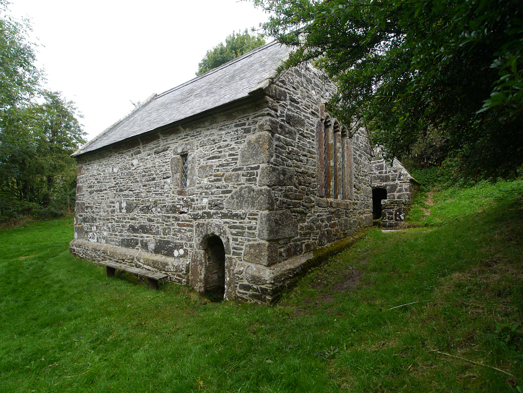 Holy WellHoly well · 1488 yd
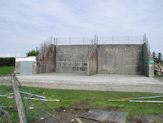 Saint Oliver Post Primary Schoolhandball alley · 1.1 mi
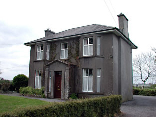 Lisshouse · 1.2 mi
 Fennor RockMountain / peak · 1.5 mi
 Memorial CrossMemorial · 1.5 mi
 CastleCastle, unclassified · 1.7 mi
 European BeechEuropean Beech · 2.6 mi
 Crossafehin IslandsIslet · 3.1 mi
 Site of Old CastleCastle, unclassified · 3.3 mi
 Fort Frederick DemesneForest · 3.4 mi