What is recorded here
Thirty metres across and seventy centimetres proud of the water, the crannog still stands fifty metres off the south shore of Clooncoe Lough. Timber stakes line its north-west edge, and radiocarbon dating places its wood between AD 1155 and 1248. It appeared on Wogan's 1750 estate map as an island, suggesting people still recognised it as a made place nearly five centuries later.
Located c. 50-60m from the S shore of Clooncoe Lough (dims c. 1.2km N-S; c. 200-250m E-W), it is depicted as an island an estate map (Wogan 1750, 26) and later OS maps. This is an overgrown circular feature (diam. 27.5m E-W; H 0.7m) with evidence of timber stake construction along the perimeter at NW. A stone pier at WNW is probably modern. A programme of radiocarbon dating undertaken by the Discovery Programme produced a date of 855 +- 20 BP (AD 1155-1248) from wood taken from the crannog (O’Conor and Fredengren 2019, 91).
The above description is derived from 'The Archaeological Inventory of County Leitrim' compiled by Michael J. Moore (Dublin: Stationery Office, 2003). In certain instances the entries have been revised and updated in the light of recent research.
Compiled by: Michael Moore
Date of revised upload: 30 December 2019
The monument record does not grant public access. Check the route and ask the landowner before entering private land.
- What survives
- Recorded monument
Places near here
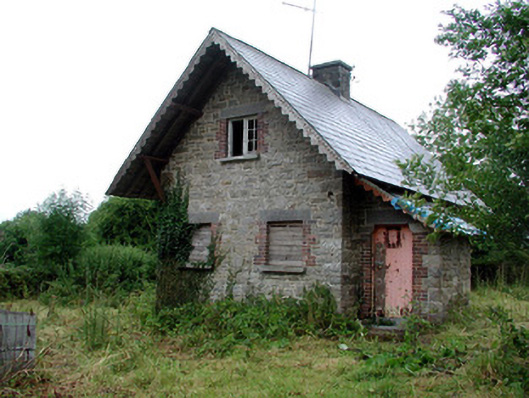 Lough Rynn Housegate lodge · 273 yd
 OratoryCastle, tower house · 315 yd
 IndicatedEnclosure · 317 yd
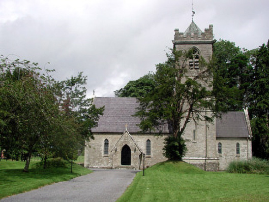 Saint Mary's Church (Cloone)church/chapel · 374 yd
 Derrinch IslandIslet · 937 yd
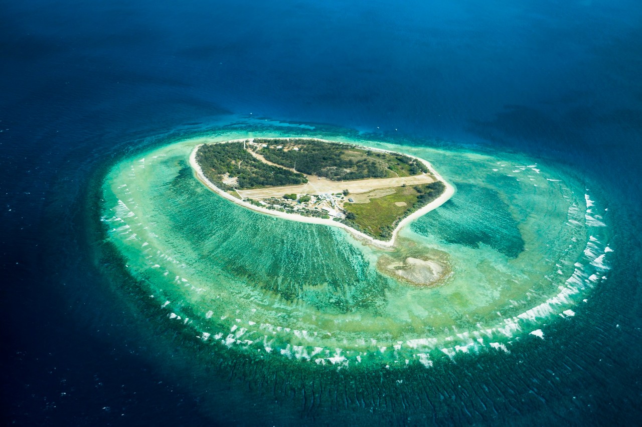 Lady Elizabeth's IslandIslet · 1.1 mi
 Druid's AltarArchaeological place · 1.3 mi
 Holm OakHolm Oak · 1.4 mi
 CastleCastle, tower house · 1.5 mi
 Western HemlockWestern Hemlock · 1.5 mi
 Giant's GraveArchaeological place · 2.5 mi
 Cavan & Leitrim RailwayMuseum · 3.6 mi