What is recorded here
Fairy fort in Dunwiley: a broken stone ring, sixteen to twenty metres across, set in good farmland beside a small stream. People may have lived there before the stones scattered, but the tale still calls it a fairy fort, as if the residents left in a hurry or vanished on purpose. The rocks remain like a circle drawn and never erased.
Internal diam. c. 16.5m-20m. A very damaged site comprising a scatter of small boulders in a roughly circular line. This also incorporates some rock outcrop on the N side. The outcrop drops away 2m on the W side but is level with the field on the E, situated in good land sloping NW to a small stream.
The above description was derived from the 'Archaeological Survey of County Donegal. A description of the field antiquities of the County from the Mesolithic Period to the 17th century.' Compiled by: Brian Lacey with Eamon Cody, Claire Cotter, Judy Cuppage, Noel Dunne, Vincent Hurley, Celie O'Rahilly, Paul Walsh and Seán Ó Nualláin (Lifford: Donegal County Council, 1983). In certain instances the entries have been revised and updated.
Date of upload: 22 September 2008
The monument record does not grant public access. Check the route and ask the landowner before entering private land.
- What survives
- Recorded monument
Places near here
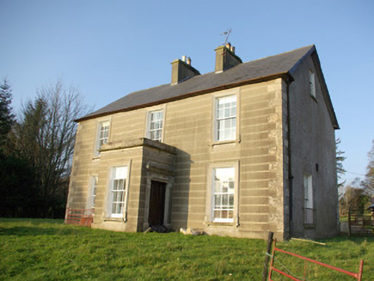 Dunwiley Househouse · 931 yd
 Holy WellHoly well · 990 yd
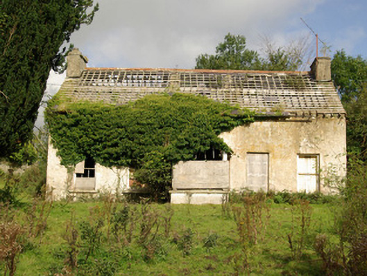 Tyrcallen Househunting/fishing lodge, house · 1236 yd
 Fairy fort / earthen ringfort in AdmiranFairy fort / earthen ringfort · 1319 yd
 Drumboe WoodForest recreation place · 1.4 mi
 Castle (Site of)Castle, unclassified · 1.8 mi
 Bawn in Killynure OR Wilsons FortBawn · 3.0 mi
 Gorey HillMountain / peak · 4.2 mi
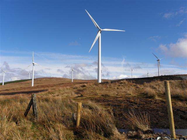 Three TopsMountain / peak · 6.1 mi
 Newmills Corn and Flax MillsHeritage attraction · 7.8 mi
 Battle of Scarrifholisbattle · 8.0 mi
 Killeter ForestForest · 10 mi