What is recorded here
Visible on aerial photographs (CUCAP: APH 36, 37) and situated on a slight SW-facing slope. Subcircular grass-covered area (dims 25.8m NE-SW; 21m NW-SE) defined by a grass-covered stone spread best preserved at NE (Wth 3.5m; H 0.3-0.5m). There are no visible facing-stones and there is no identifiable original entrance. Cashel (RO047-015001-) is c. 190m to the NNW.
Compiled by: Michael Moore
Date of upload: 24 August 2010
The monument record does not grant public access. Check the route and ask the landowner before entering private land.
- What survives
- Recorded monument
Places near here
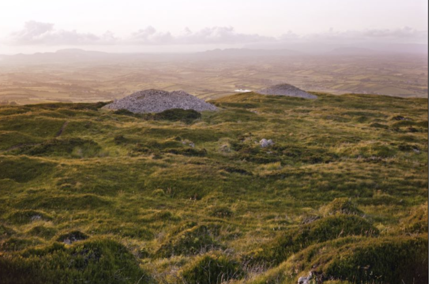 Embanked enclosureFairy fort / earthen ringfort · 481 yd
 Cronin FortFairy fort / earthen ringfort · 549 yd
 Inchnaveague IslandIslet · 1.5 mi
 InchnagowerIslet · 1.6 mi
 RoadRoad, road/trackway · 1.8 mi
 CastleCastle, unclassified · 2.0 mi
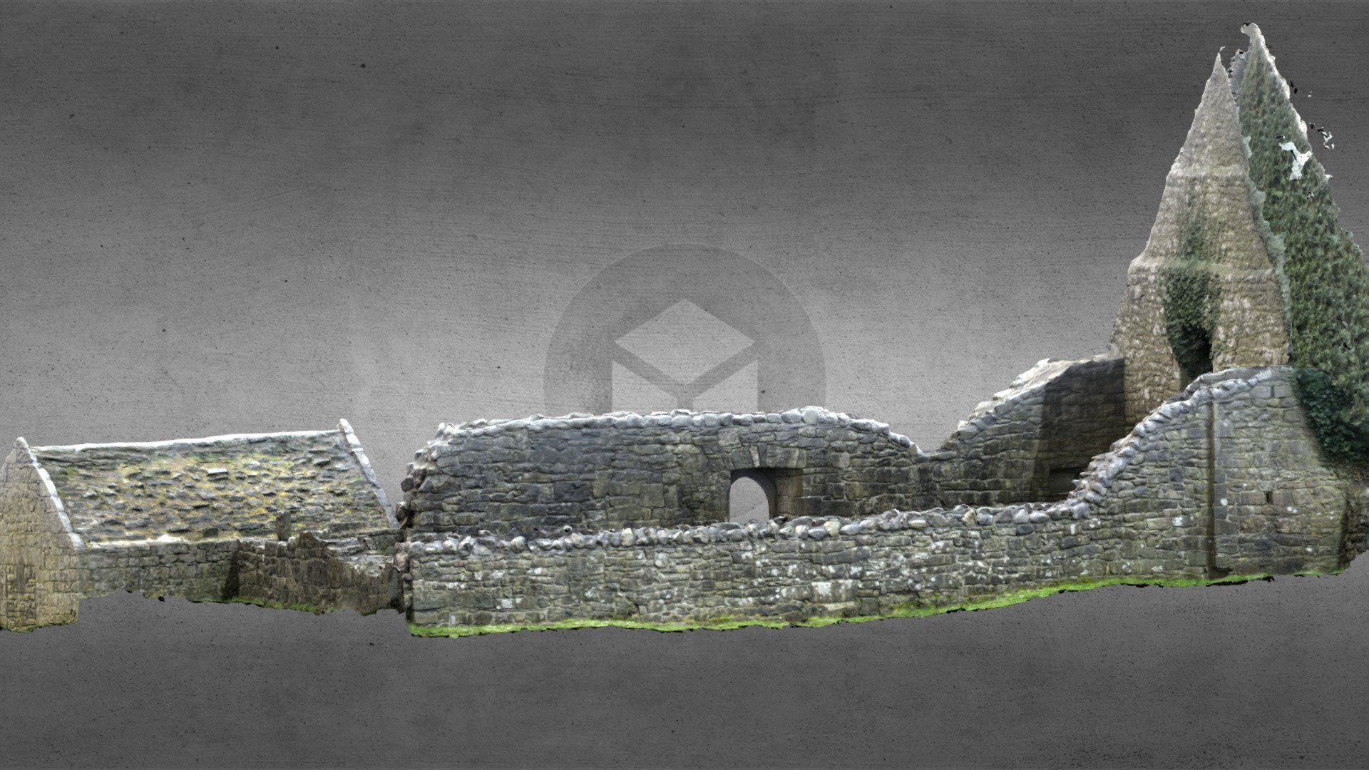 Church (in Ruins)Church · 2.1 mi
 Castle (Site of)Castle, unclassified · 3.9 mi
 Sheep HillMountain / peak · 4.9 mi
 Aughrane WoodsForest · 6.6 mi
 LismoneyForest · 6.6 mi
 Mount MaryMountain / peak · 9.7 mi