What is recorded here
Sited on a slight rise, in gently undulating pasture with good views in all directions. Bivallate monument described in 1971 as an oval-shaped area (dims. 36m WNW-ESE; 33.60m NNE-SSW) enclosed by an inner bank, an intervening fosse and an outer bank. The inner bank is best preserved where it is steep from SW-W-N-NNE and is reduced to a scarp and which is gapped from NNE-E-S-SW. A wide fosse is visible from SSW-W-N-E. The outer bank is visible from WSW-W-N-N. A portion of modern fence extends outside the scarp and along the outer side of the fosse from N-NE-E and may have been fashioned out of the outer bank of the monument. The original entrance is not visible. The interior has a gentle SE-facing slope with an uneven surface probably due to underlying rock.
Compiled by Alison McQueen, Vera Rahilly and Caimin O’Brien.
Date of upload: 02 October 2019
The monument record does not grant public access. Check the route and ask the landowner before entering private land.
- What survives
- Recorded monument
Places near here
 Not idnicatedFairy fort / earthen ringfort · 640 yd
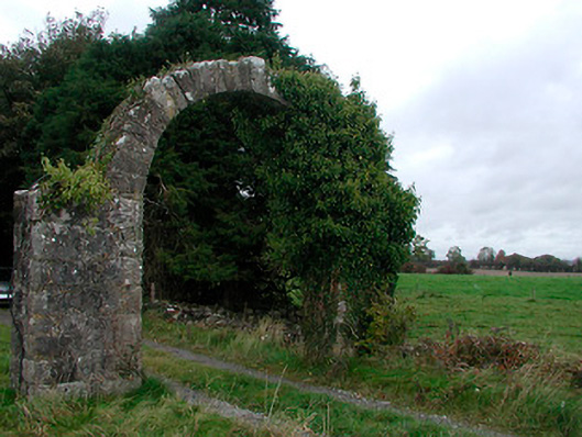 Violetstown Housefarmyard complex · 709 yd
 Penal Mass station in VilanstownPenal Mass station · 755 yd
 IndicatedFairy fort / earthen ringfort · 1158 yd
 CastleCastle, tower house · 1.3 mi
 Boardstown Castle (in Ruins)Castle, tower house · 2.5 mi
 United Nations War MemorialMemorial · 4.8 mi
 Saint Brigid's WellSpring · 5.4 mi
 Roundhill WoodForest · 11 mi
 Rahin WoodsForest · 11 mi
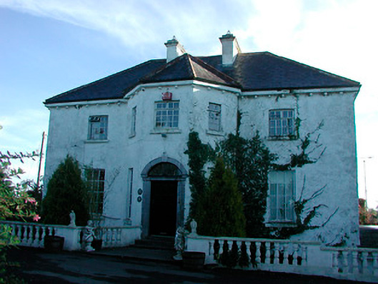 Woodville Housecountry house · 1601 yd
 Partially hachuredFairy fort / earthen ringfort · 1623 yd