What is recorded here
Situated on a slight rise, in pasture, overlooked by higher ground to NE and with a narrow view of Lough Ennell to W. Depicted on the revised 1913 ed. OS 25-inch map as a roughly circular-shaped earthwork. Monument described in 1971 as a subcircular-shaped area (dims. 38.6m E-W; 37.2m N-S) enclosed by a bank and external fosse. The bank is steep on the exterior and is best preserved from N-E and is almost reduced to a scarp from E-S-W-N. The interior of the bank is defined by four large stones which are slightly spaced apart at NE and may have formed a facing. There are traces of a very slight fosse and a portion of earth and stone field boundary crosses it at S. The original entrance is not visible. The interior has a slight ENE-facing slope with traces of cultivation ridges running ENE-WSW and several naturally formed humps and hollows in the centre. A low scarp (L 8.2m; H 0.5m) with a facing of large stones curves to S and SSW of the centre and is of unknown significance.
Compiled by Alison McQueen, Vera Rahilly and Caimin O’Brien.
Date of upload: 04 November 2019
The monument record does not grant public access. Check the route and ask the landowner before entering private land.
- What survives
- Recorded monument
Places near here
 OutlinedFairy fort / earthen ringfort · 672 yd
 Castle in RuinsCastle, tower house · 678 yd
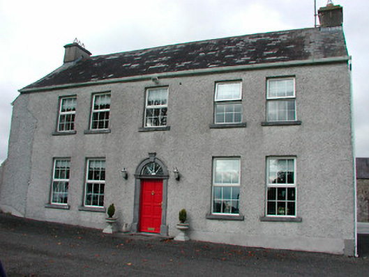 Tyrrellstown Housefarm house, outbuilding · 690 yd
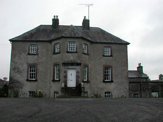 Anneville Housecountry house · 1070 yd
 Enclosure in Carrick (fartullagh By.)Enclosure · 1173 yd
 Bawn in Simonstown (fartullagh By.)Bawn · 1340 yd
 Mollie Moo's Pet FarmHeritage attraction · 1.4 mi
 Belvedere house and gardensVisitor information · 1.6 mi
 Dysart IslandIsland · 3.1 mi
 Ash IslandIslet · 3.2 mi
 Derrygreenagh HillMountain / peak · 6.0 mi
 Ardan WoodWood · 8.2 mi