What is recorded here
Two earthen rings touch like joined hands on a narrow spur above a north-facing slope in Tullyweel, County Meath. One bank still carries scattered outer stones along its east and south-west edge, while hedge and grass hide the rest. Neither ring can be dated ahead of the other, so the place keeps its own secret about which hand led and which followed.
Located towards the S end of a small S-N spur that rises from a N-facing slope. This is a subcircular grass-covered area (dims c. 30m E-W; 28m NNW-SSE) defined by an earthen bank (Wth of base 3.5-5m; int. H 0.5-1m; ext. H 1-2m) and hedge with no visible fosse that only survives NW-E-SW but it has outer facing stones E-SSW. The original entrance is not identified. This rath is conjoined with rath (ME002-026----) which is immediately to the W but it is not possible to determine which monument is the earlier.
Compiled by: Michael Moore
Date of upload: 31 August 2018
The monument record does not grant public access. Check the route and ask the landowner before entering private land.
- What survives
- Recorded monument
Places near here
 IndicatedEnclosure · 413 yd
 Portal tomb in ErveyPortal tomb · 842 yd
 Miltown GlenWood · 1.3 mi
 The CurraghWood · 1.3 mi
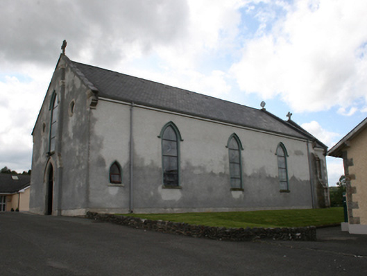 Our Lady of Mount Carmelchurch/chapel · 1.8 mi
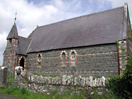 Saint Columba's Church (Moybolgue)church/chapel · 2.1 mi
 Castle in ruinsCastle, unclassified · 2.2 mi
 Fair of MuffMemorial · 2.2 mi
 CabraMountain / peak · 3.0 mi
 Giants GraveArchaeological place · 3.2 mi
 TeevurcherMountain / peak · 3.3 mi
 Castle ruinsCastle, unclassified · 3.3 mi